
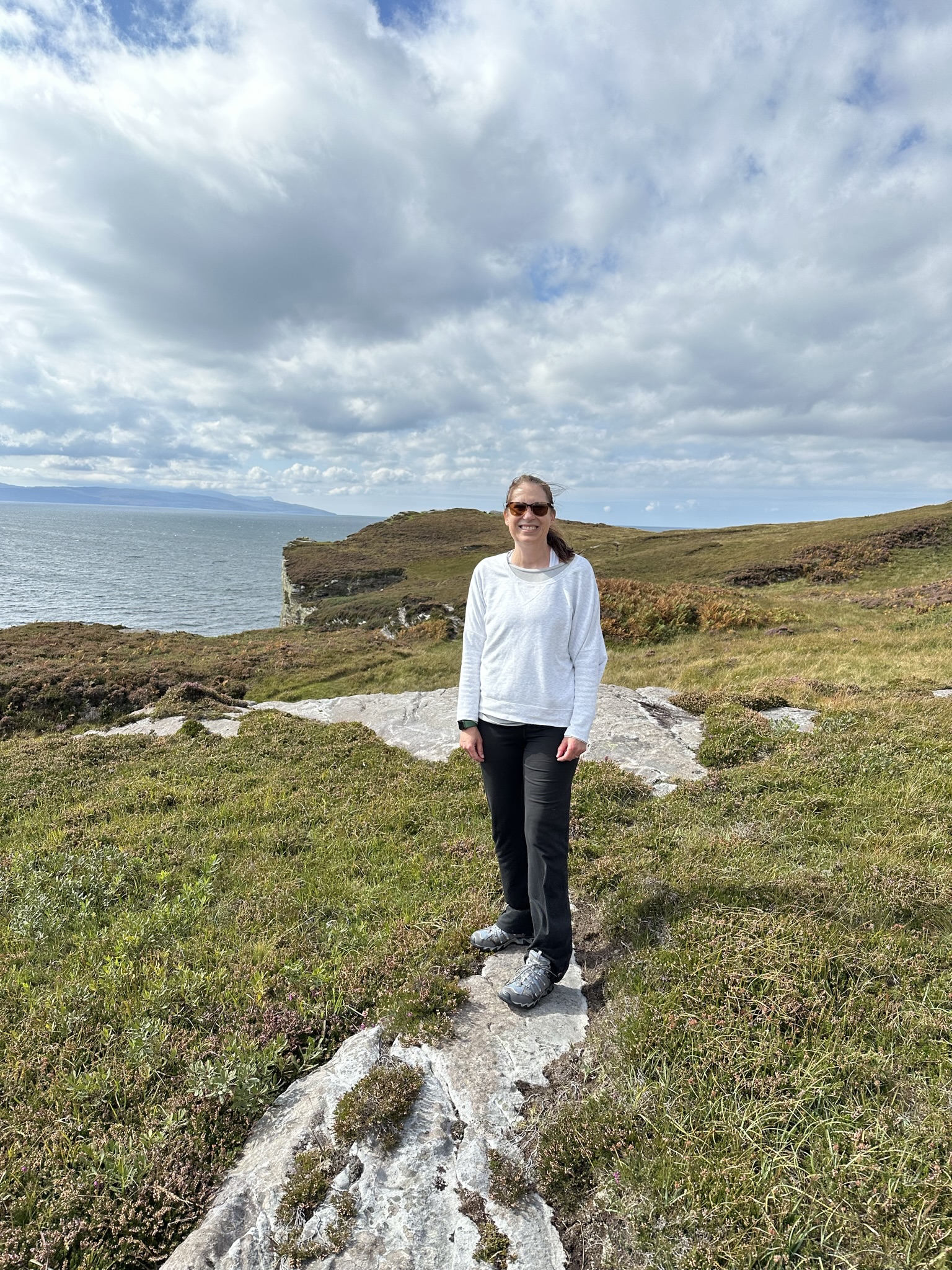
Around just about every bend on the Isle of Skye, you’ll find a trail or walk. Whether it’s up a single-track roadway or a proper cut trail into the wilderness, Skye is best explored on your own two feet.
We spent two weeks here and did lots of exploring in the process. The following is the list of hikes we did and our thoughts on each.
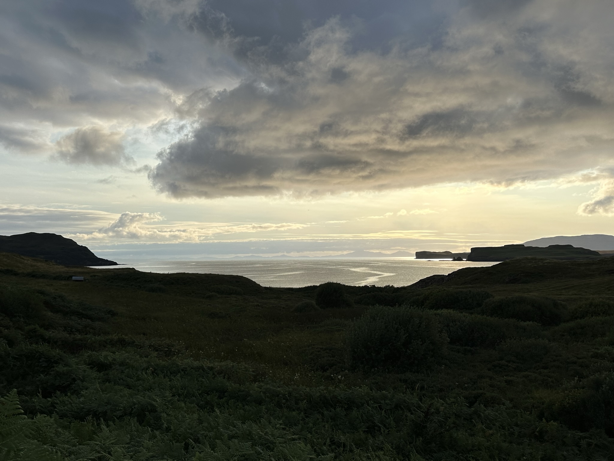
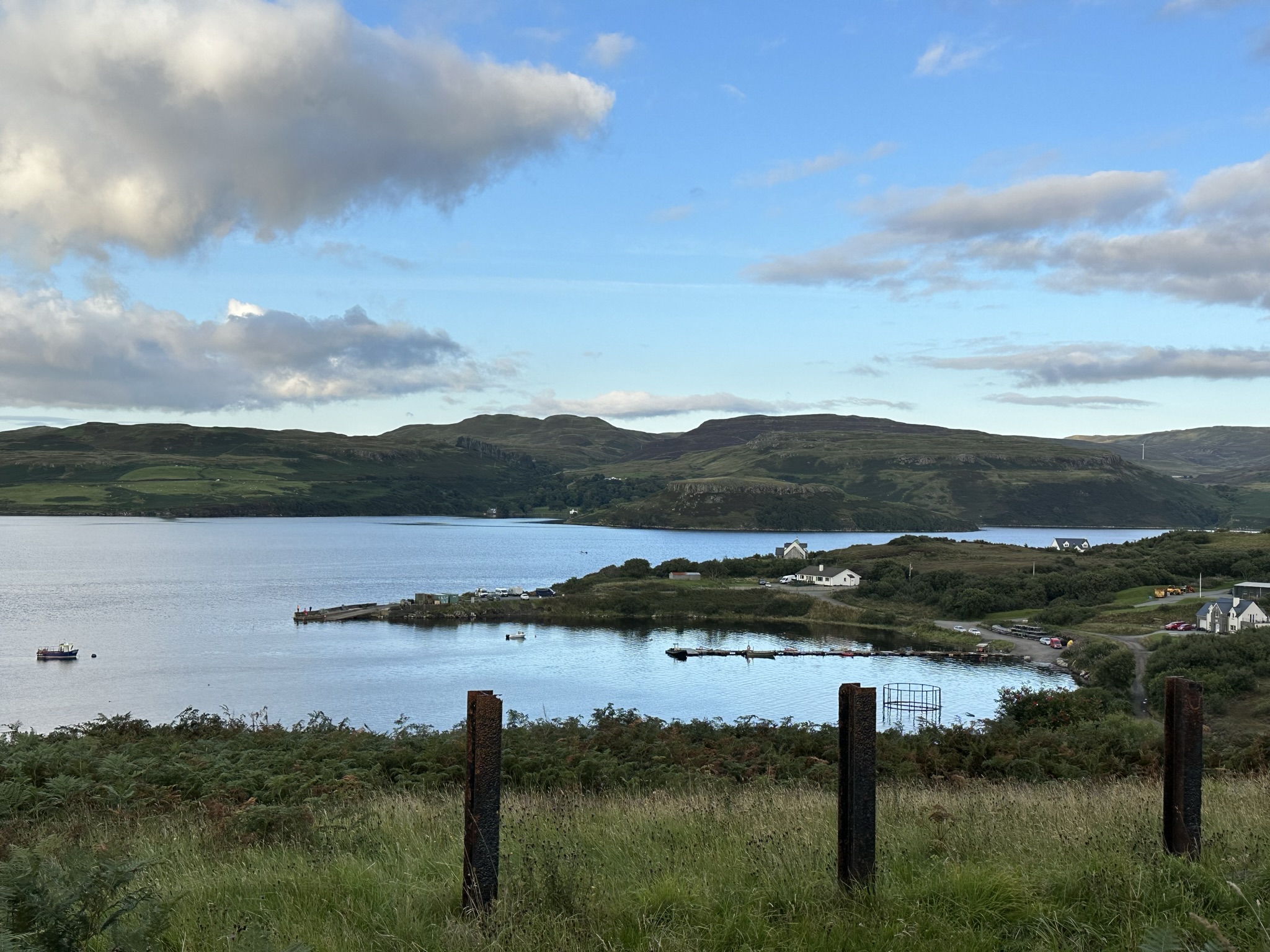
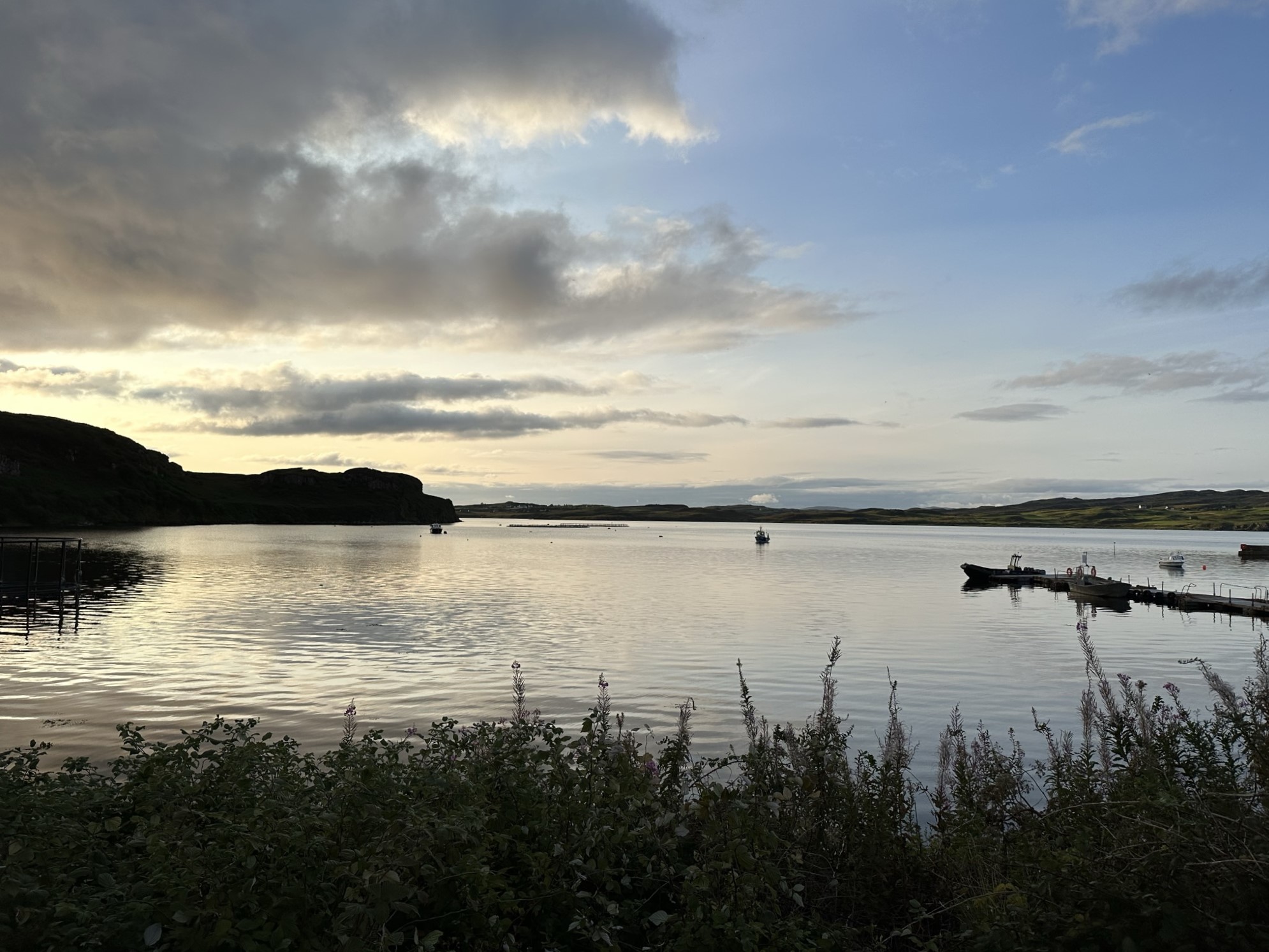
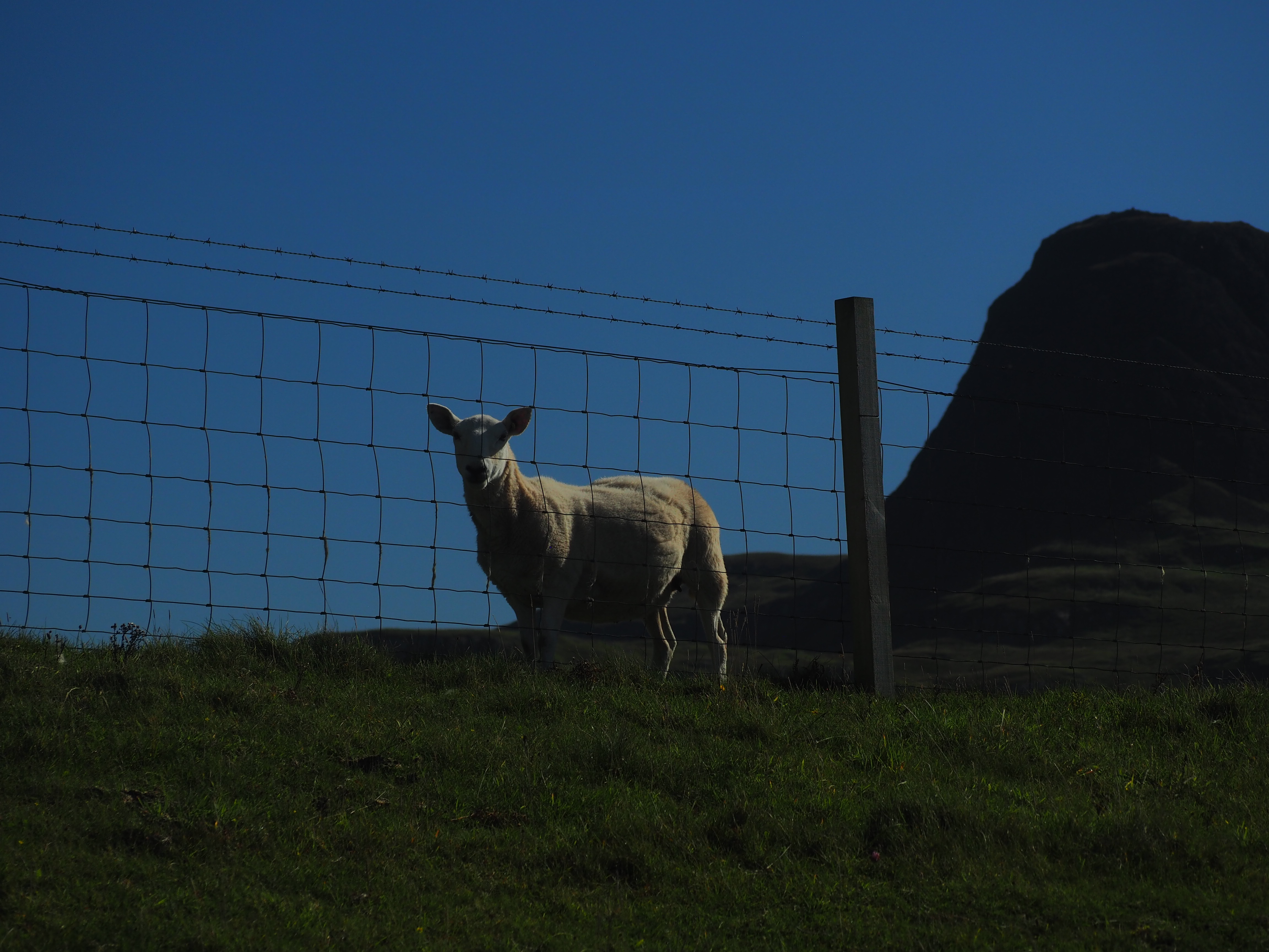
1. Portnalong Point. Nearing sunset one evening, we set out to take the trail near the end of the Minginish peninsula on which Carbost sits to catch the view from Portnalong Point. We parked at the boat landing and walked up through a small wood and into grazing pastures, along a short stretch of road and then back into pasture. Nearing the end, however, our way was blocked by several goats, one, in particular, seeming aggressive and irritated, perhaps by the dog we’d seen on our way up who had seemed equally spooked. The goat was trying to herd his pals around and seemed a bit too intensely focused on maybe herding us too. Not one who wants to be got by the goat (or his horns), we turned and returned to our car, hoping to make it to the end one other evening when the goats weren’t barricading the way. Despite our failure to reach the point, we caught some pretty incredible views of the coastline and marina. It’s an easy walk, just over a mile each way.
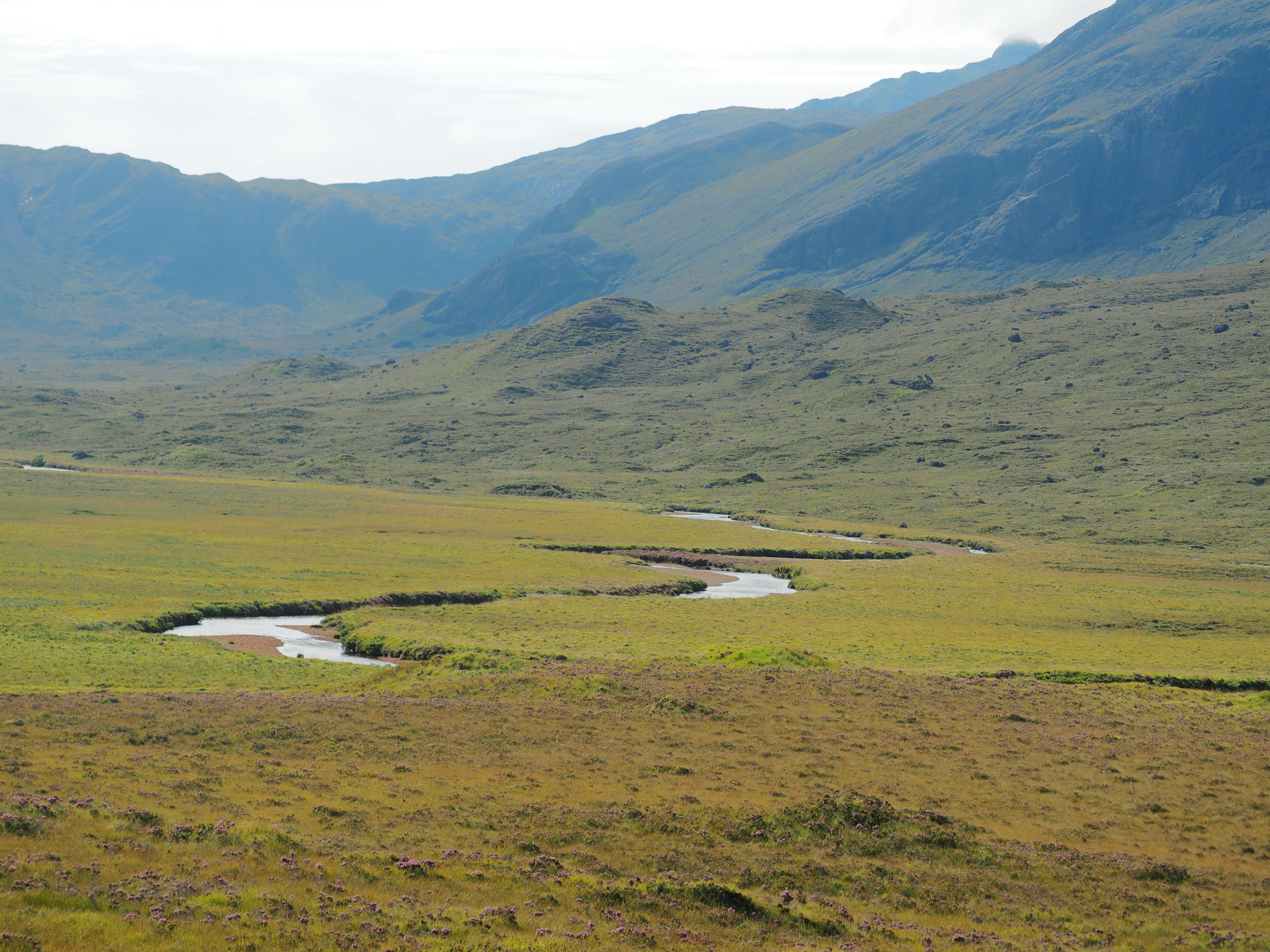
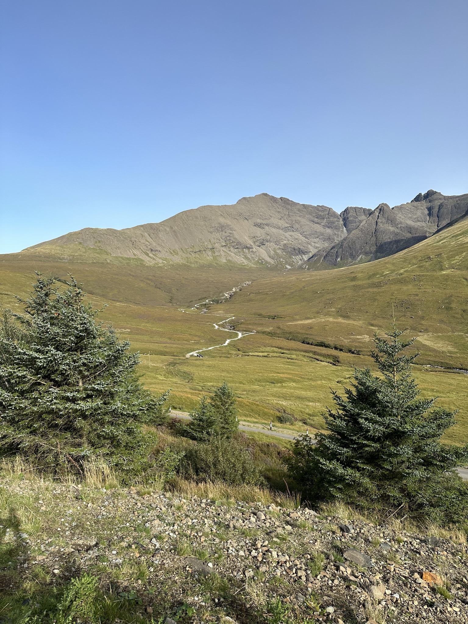
2. The flats of the Peak of Strife trail (Sgurr na Stri). This is a 7.25 mile trail each way, including the climb. We just wandered through the moors on the long flat of the trail leading to the peak climb with views of the Cuillin Hills all around us. We went out 2 miles and back and it was a lovely walk, virtually alone. Lots of people stop right by the hotel at the trailhead to get out, take photos, visit the statue of John MacKenzie and Norman Collie, two mountaineers who created many of the well-known trails on Skye, and the river, but once you get on the trail you may have the place to yourself for much of the time.

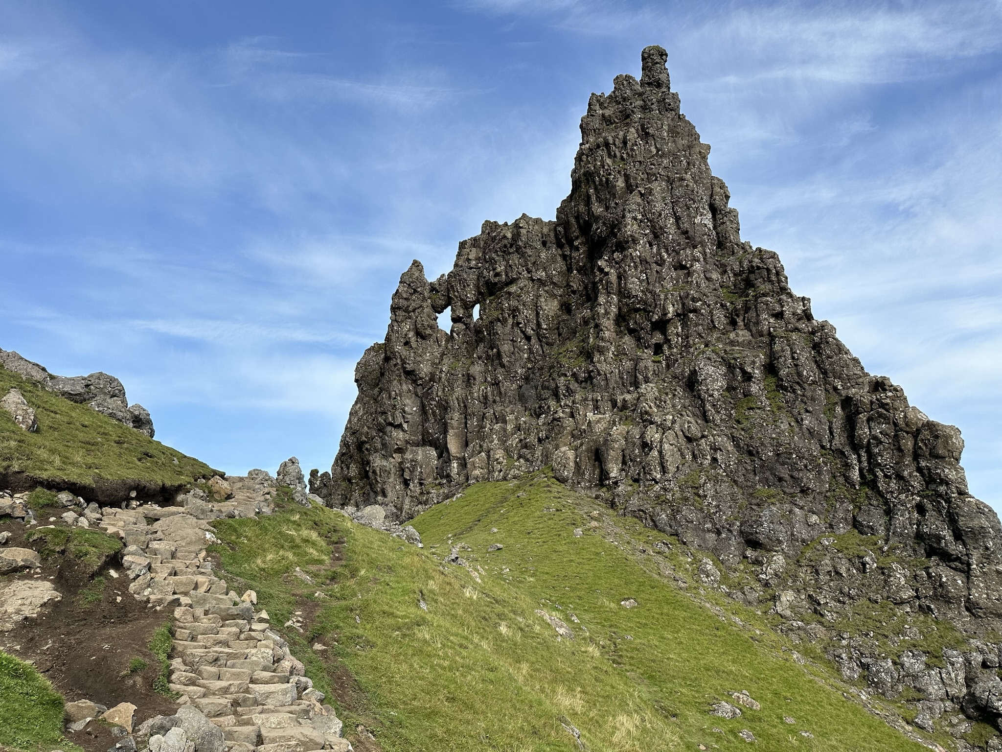
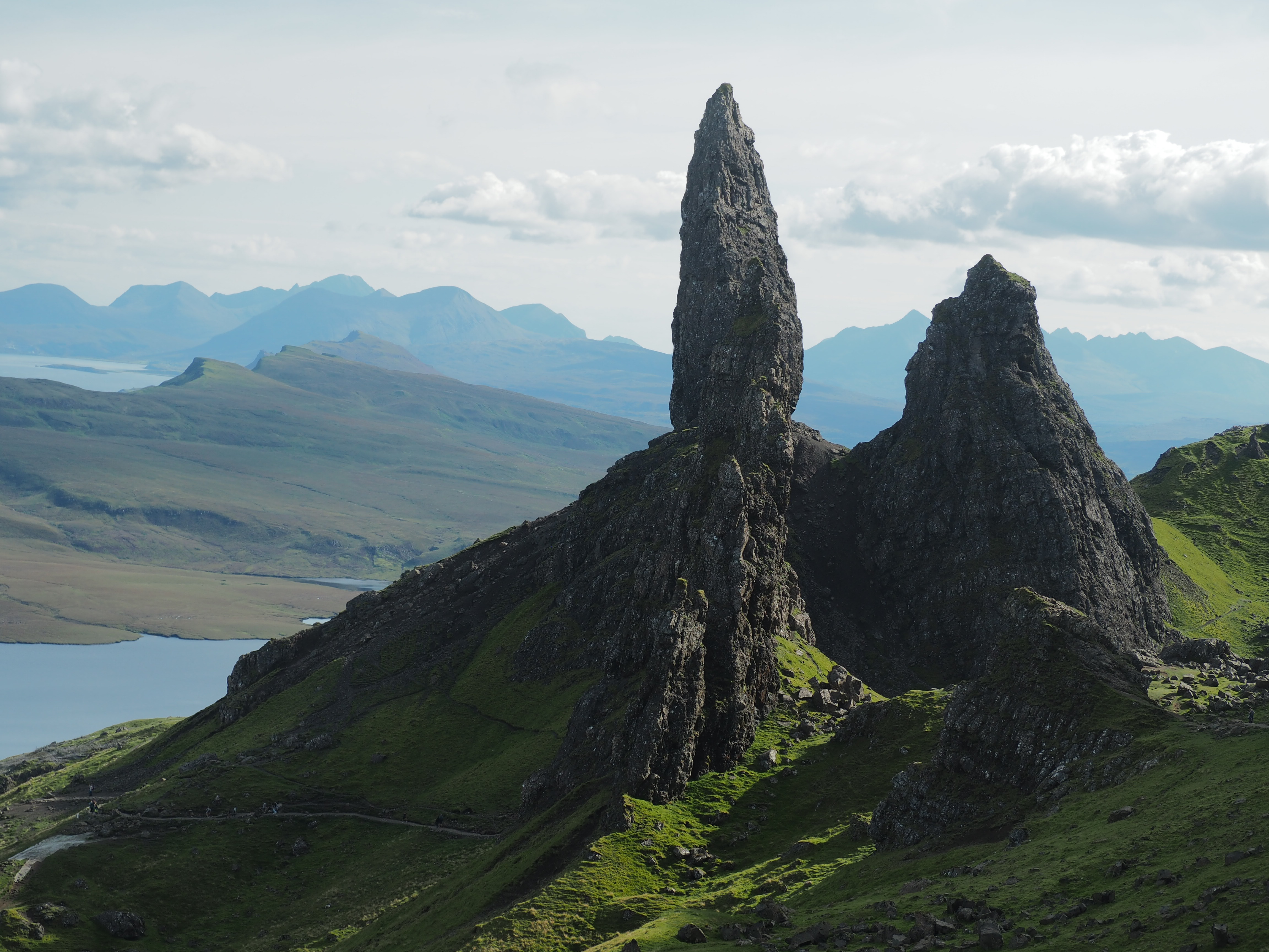
3. Old Man of Storr. I had very low expectations for this one. The photos I’d seen online (granted I didn’t look very long or hard) were fine. From a distance it looks pretty cool, like a huge above ground stalagmite of basalt rising up from the earth. It is a super popular hike and I assumed it would be full of “bucket listers” and day trippers. It’s close to Portree, so there is easy access for tourists staying there or cruisers docking just off its shores. For all of these reasons I had limited my expectations, but it looked like a good workout, so I went.
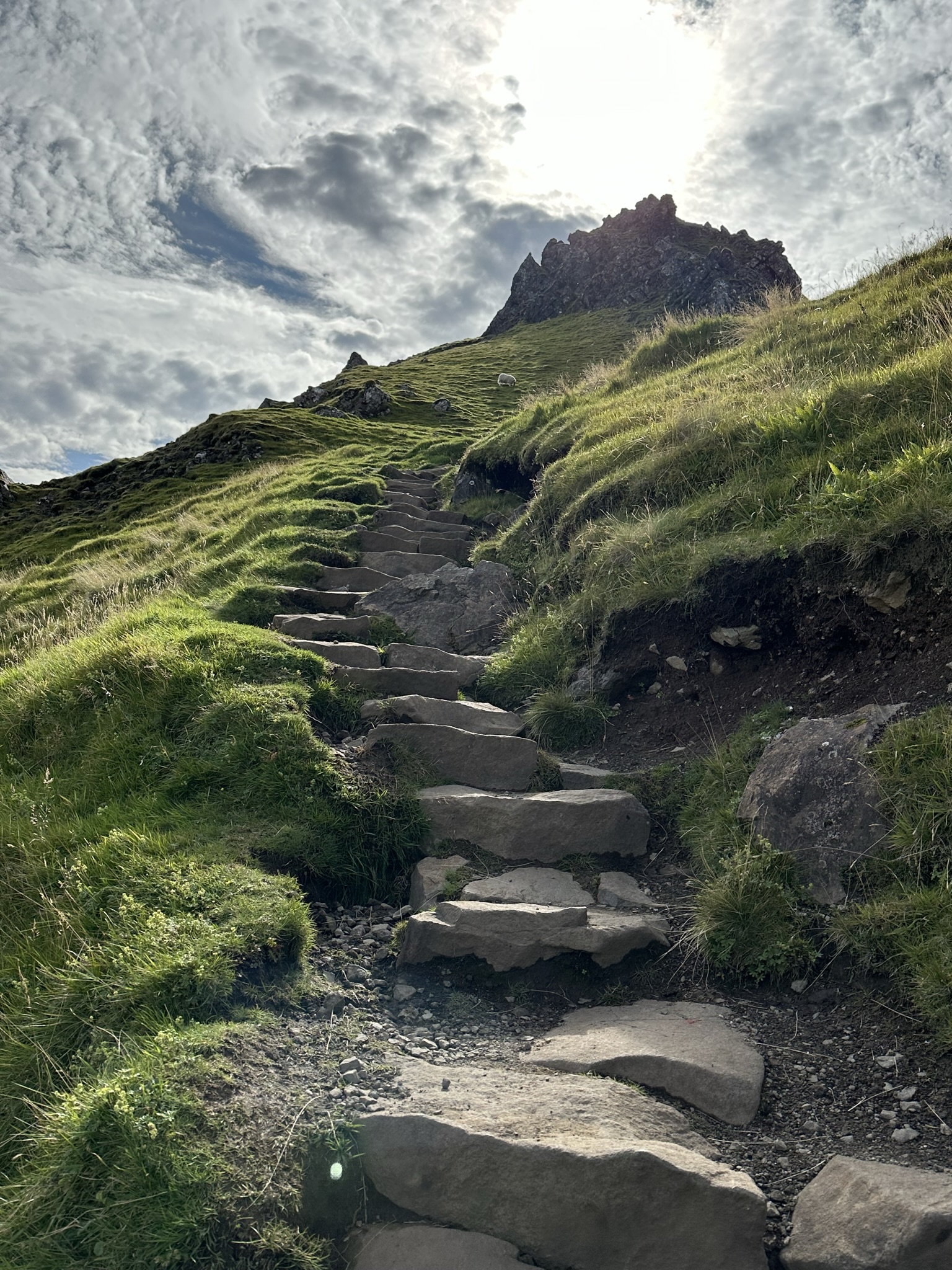
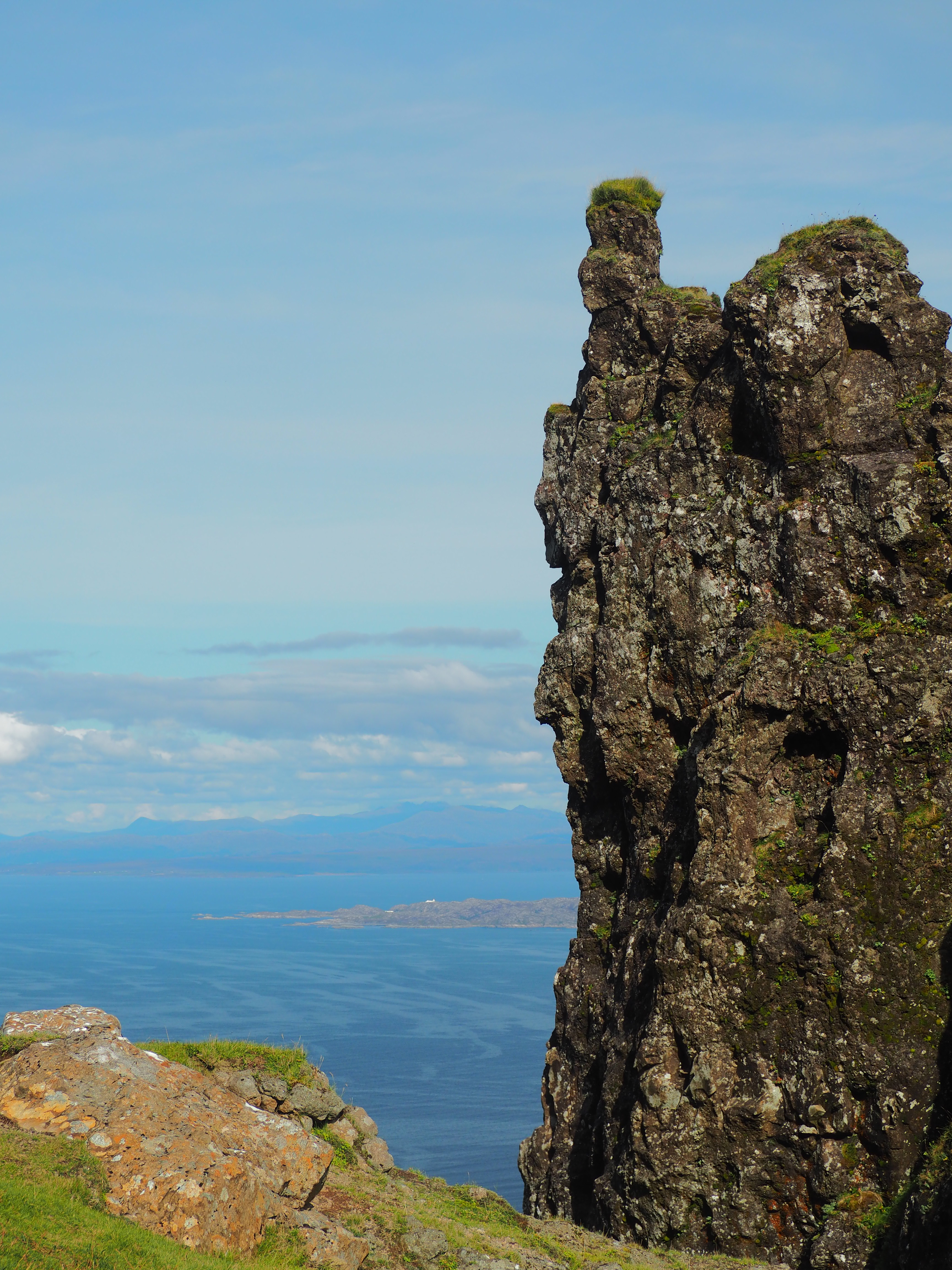
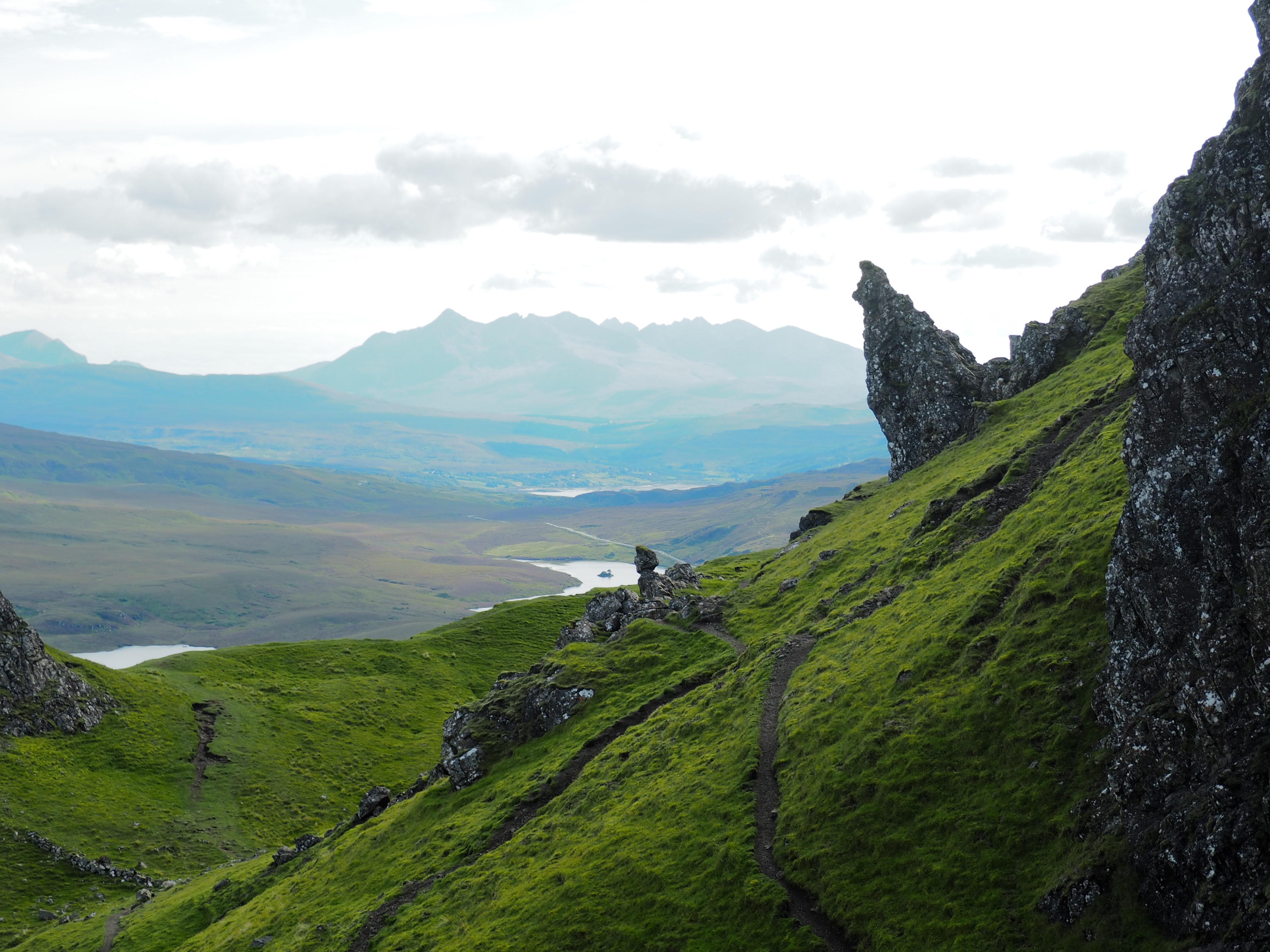
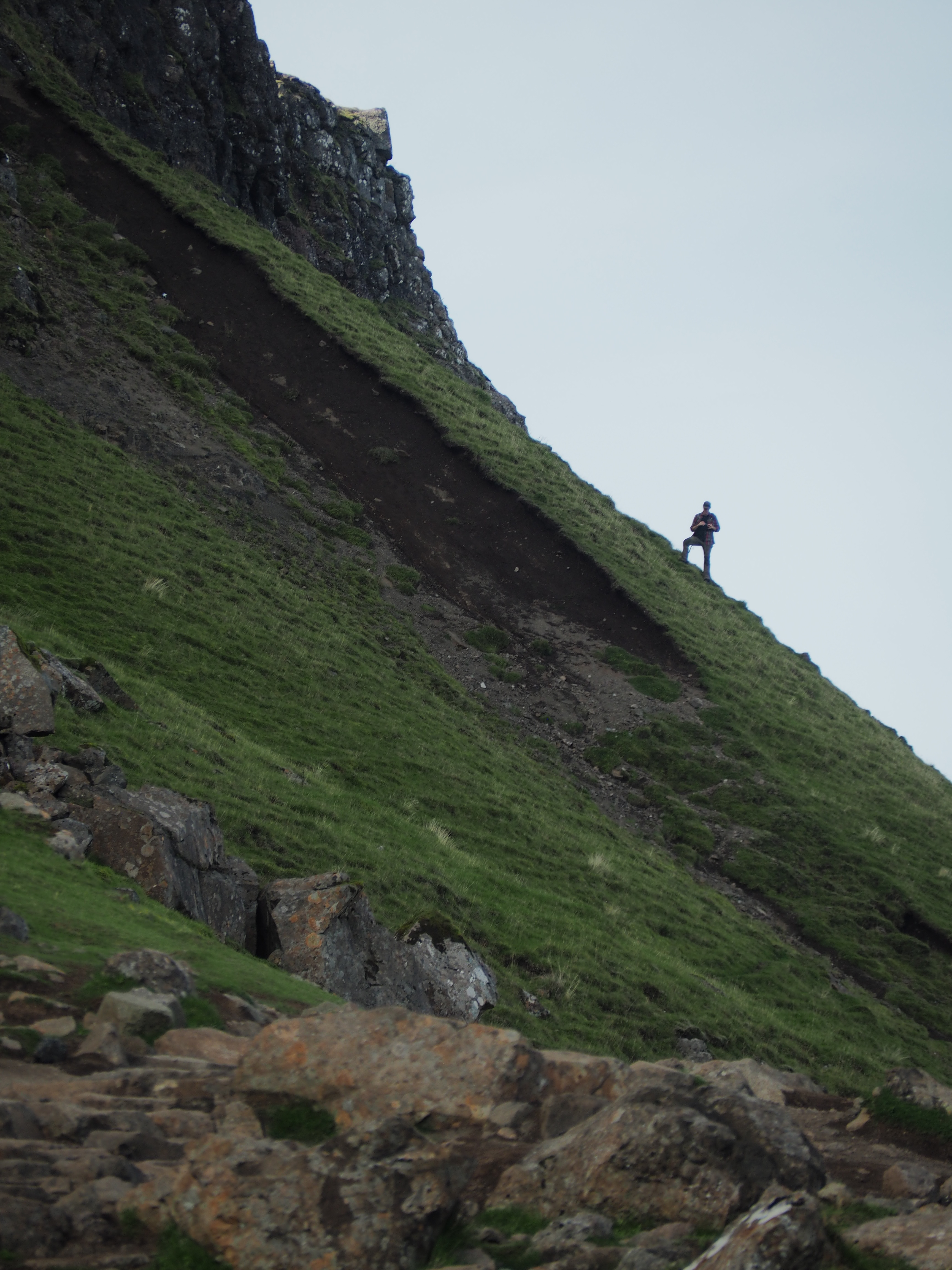
From the road and the initial trail, which is steep, but a wide-open path, nothing really changed my opinion, but, I was getting the promised workout. Until I got up high. The lower bit, while steep, is not overly challenging as long as you don’t mind a steep uphill climb. The upper bit, particularly if you follow the route on AllTrails, is a different story. Narrow stone steps, with a pretty good incline to the drop off, might scare off a few who don’t like heights or ridges but once I got inside the stone circle I was blown away. It was like a scene from Planet of the Apes or somewhere you’d expect the Targareyens to raise a herd of dragons. Large boulders lie where they’ve fallen, remnants of rockslides litter the green, green grass and I was virtually alone walking below the the “old man” and his sister pinnacle “the needle”.


Then I climbed to the high point of the trail, for the best views of the whole thing. Just utterly spectacular. It was slightly detracted by a couple being photographed by an extremely loud photographer who just kept shouting (yes, literally shouting, sending reverberating echoes down the valley) what sounded like “wow” over and over. They dominated the high point and really took away from the peace and serenity that I think everyone else was hoping to feel. But you can’t choose your climb mates and sometimes the obnoxious ones beat you to it. Despite, this detraction, I have nothing but fond memories of my afternoon amidst the rocks of the Old Man and his partners.

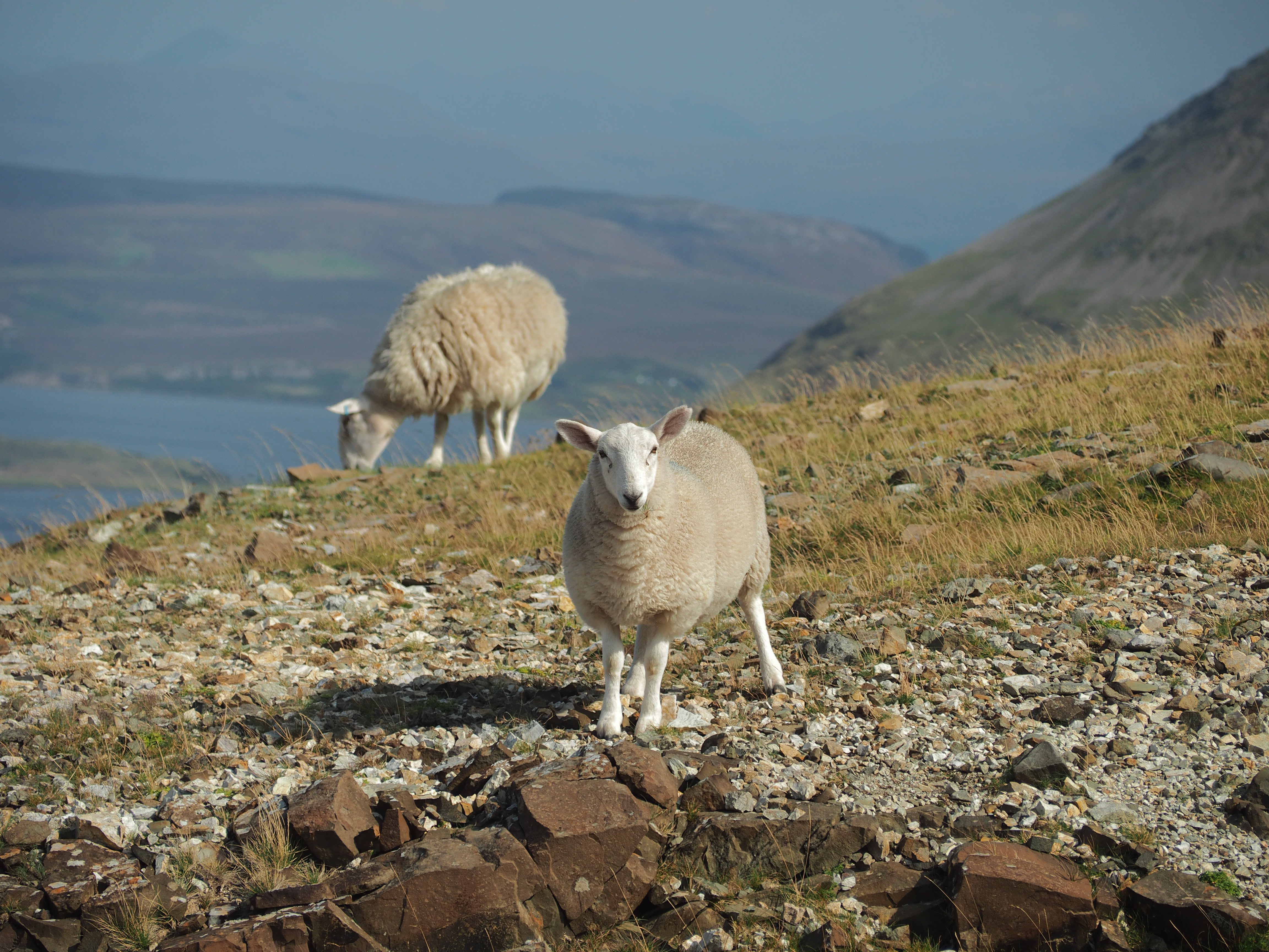
4. The Fairy Pools. The Old Man and the Ferry Pools are two of Skye’s most popular hikes. Both have pay lots and show up on “things to do on Skye” lists. They were the most crowded walks/hikes we did. Like the Old Man, I had low expectations for the pools. After paying the meter, we set out along the wide path first down into the valley and then up beside the stream and waterfalls of the pools. Lots of people take a dip in the cold cold water of the pools themselves. The pools got their name in the early 1900s as a way to attract tourists to see the “pools of the fairies” at the foot of the Cuillin hills.
I was pleasantly surprised with the pools. They were cooler than I expected and because we went later in the day, about two hours before sunset, the crowds were small. We didn’t swim, as there was a cool breeze in the air and we hadn’t prepared to dive in, but we would have if it were still hotter (as it had been earlier in the day) and we’d come equipped with our bathing kits. If you have limited time on Skye and want a walk that is moderately challenging, but not difficult (though the return steep incline to the lot seemed to surprise people with its grade even though they’d just gone down it), we would also add the Fairy Pools to our “Things to do on Skye” list too.

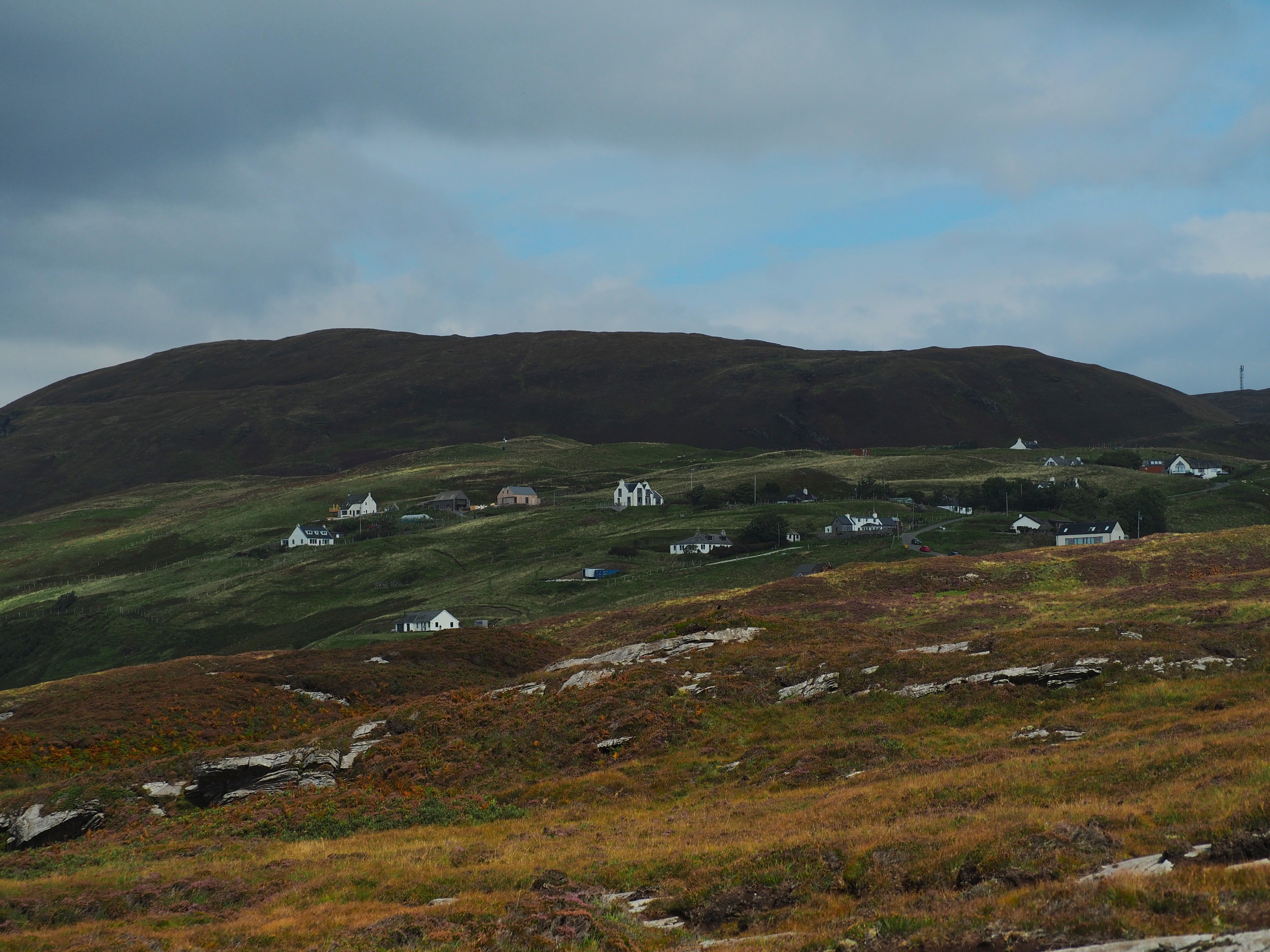
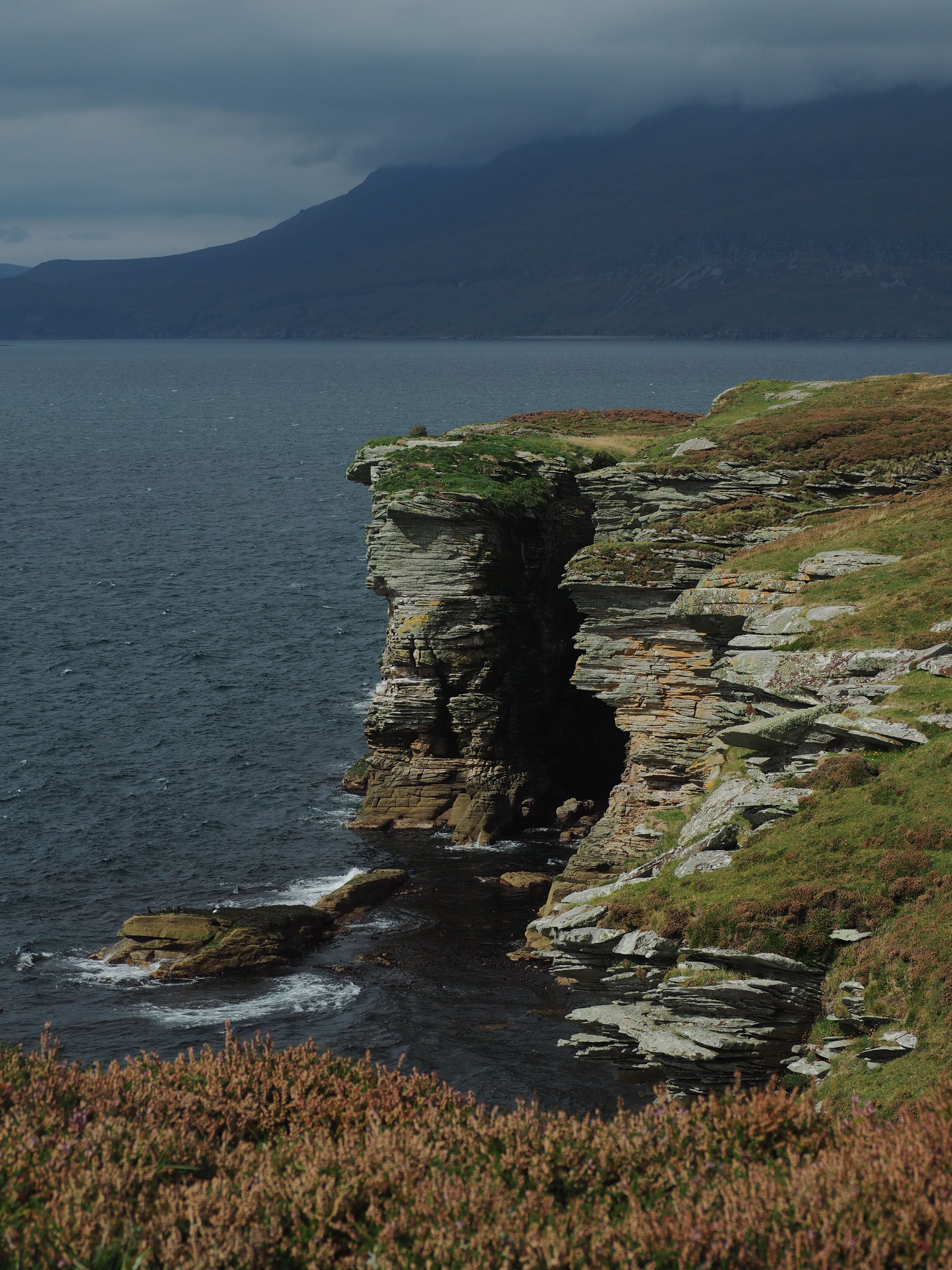
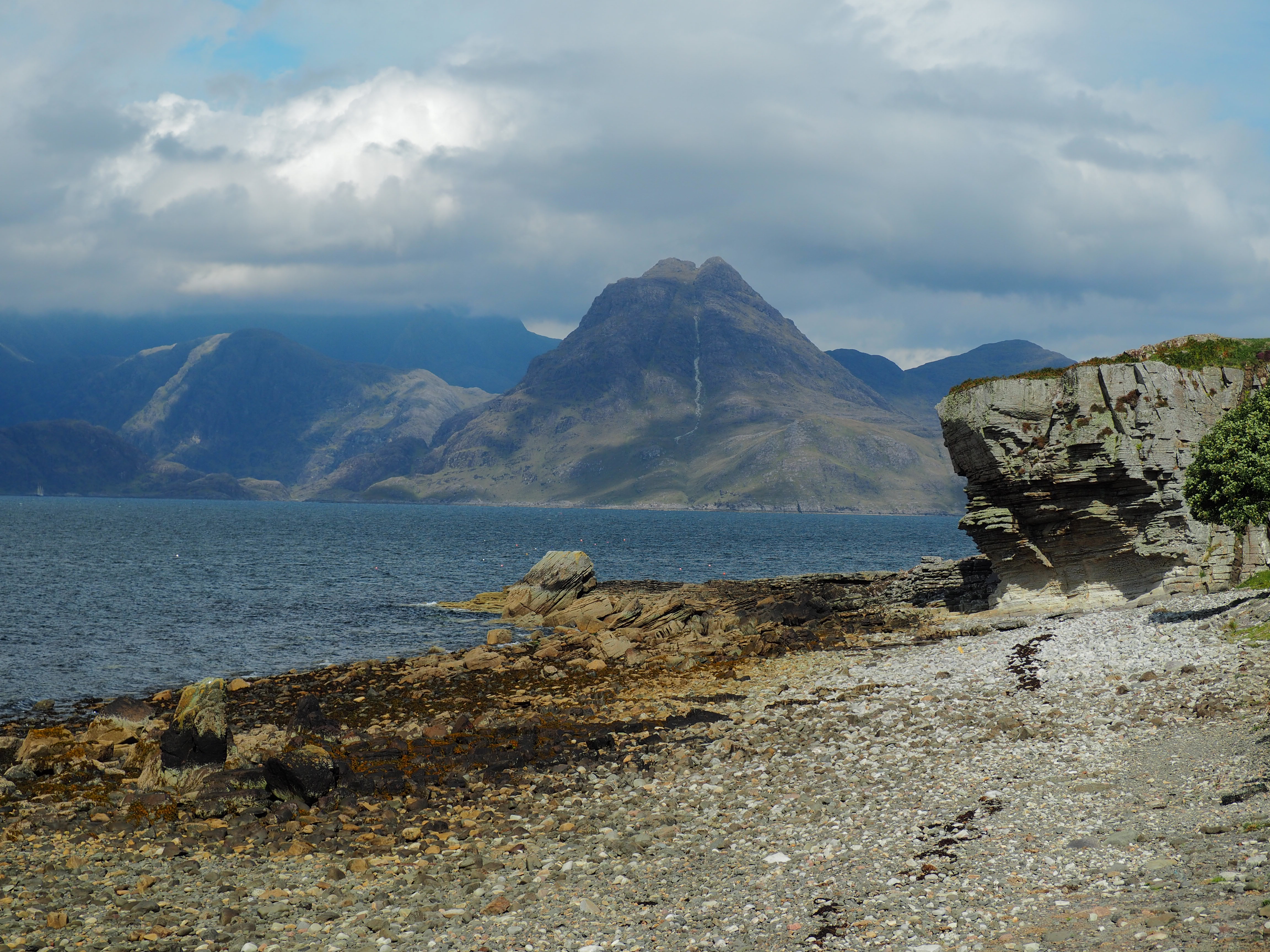
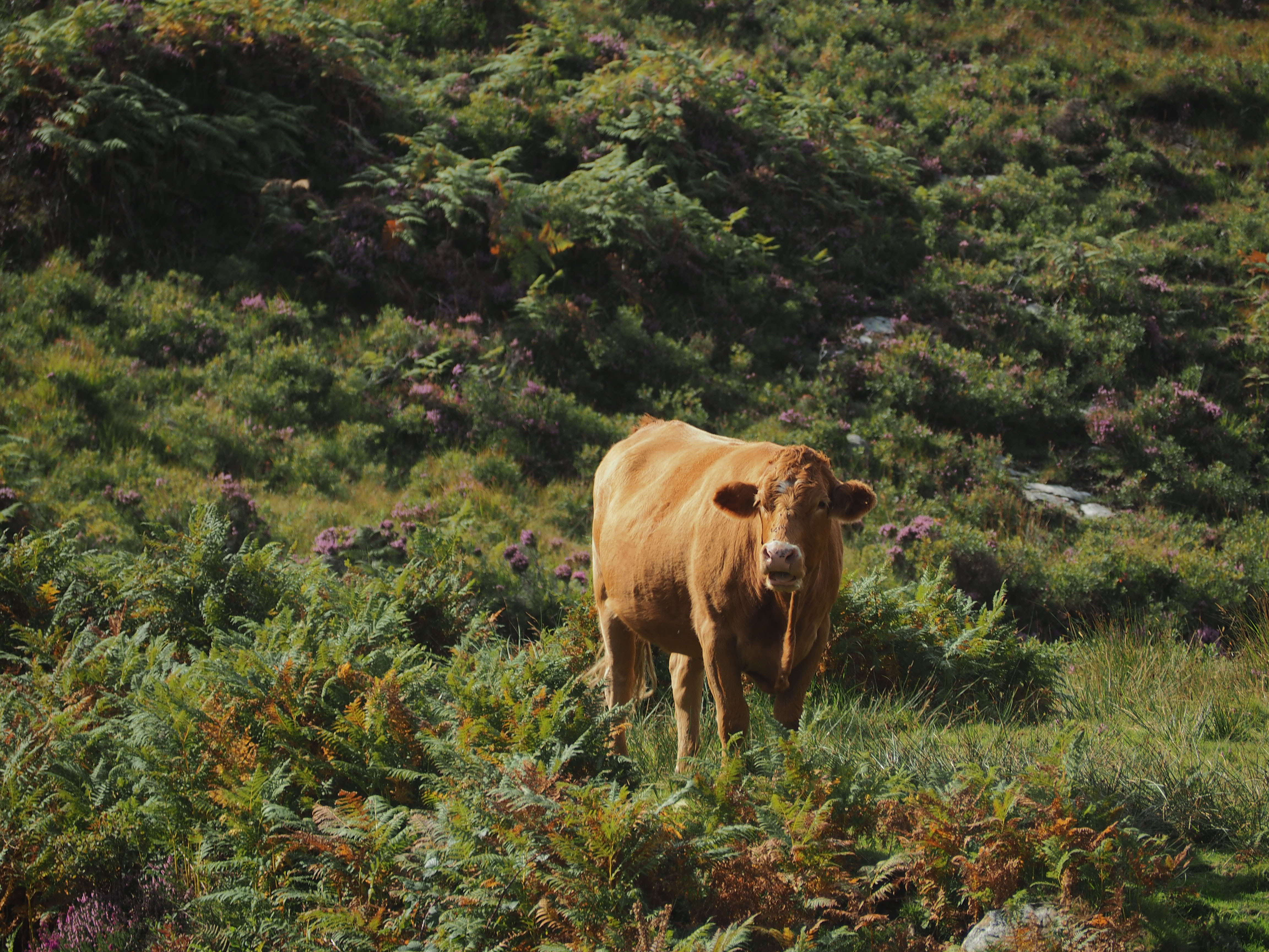
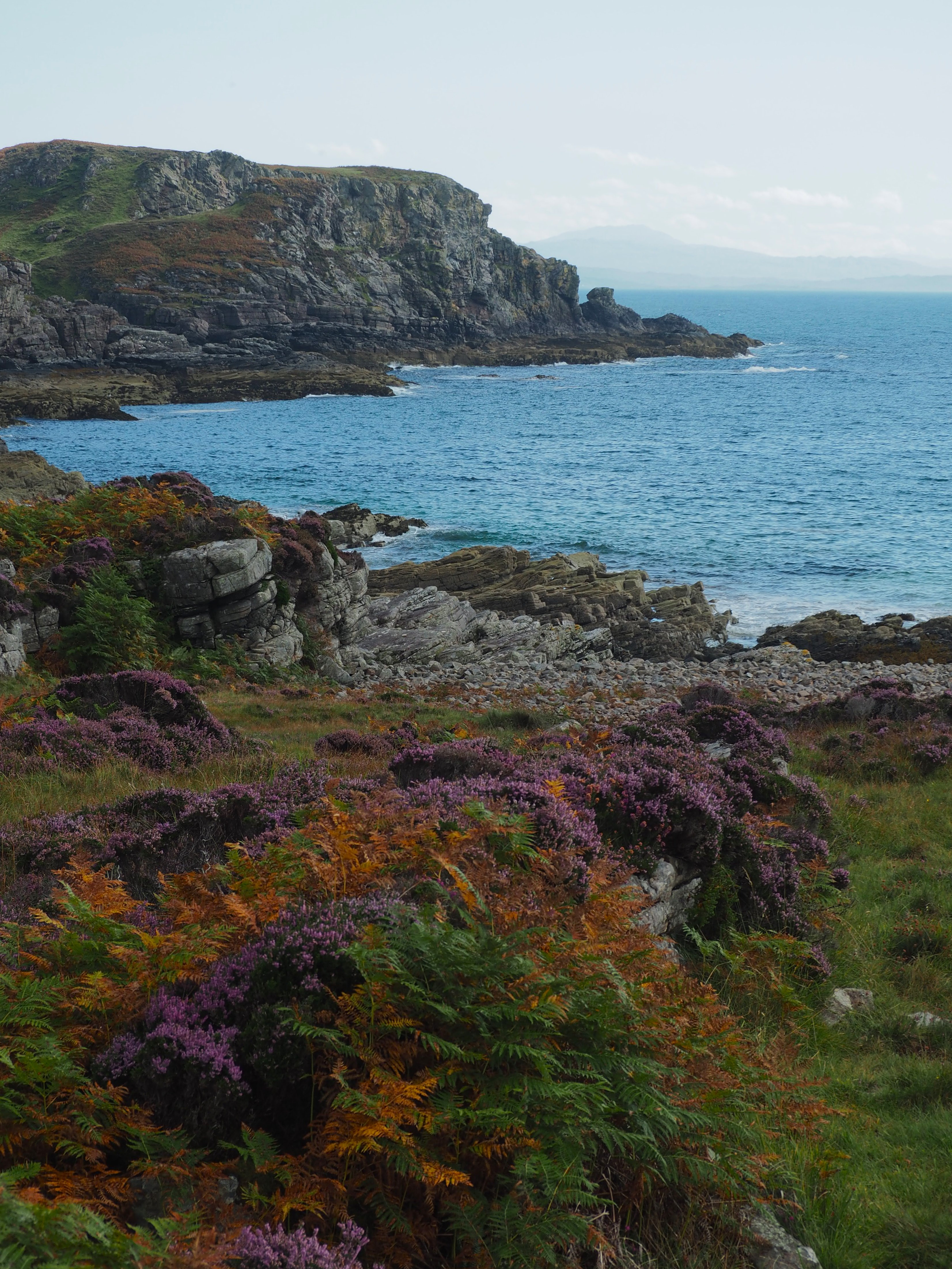
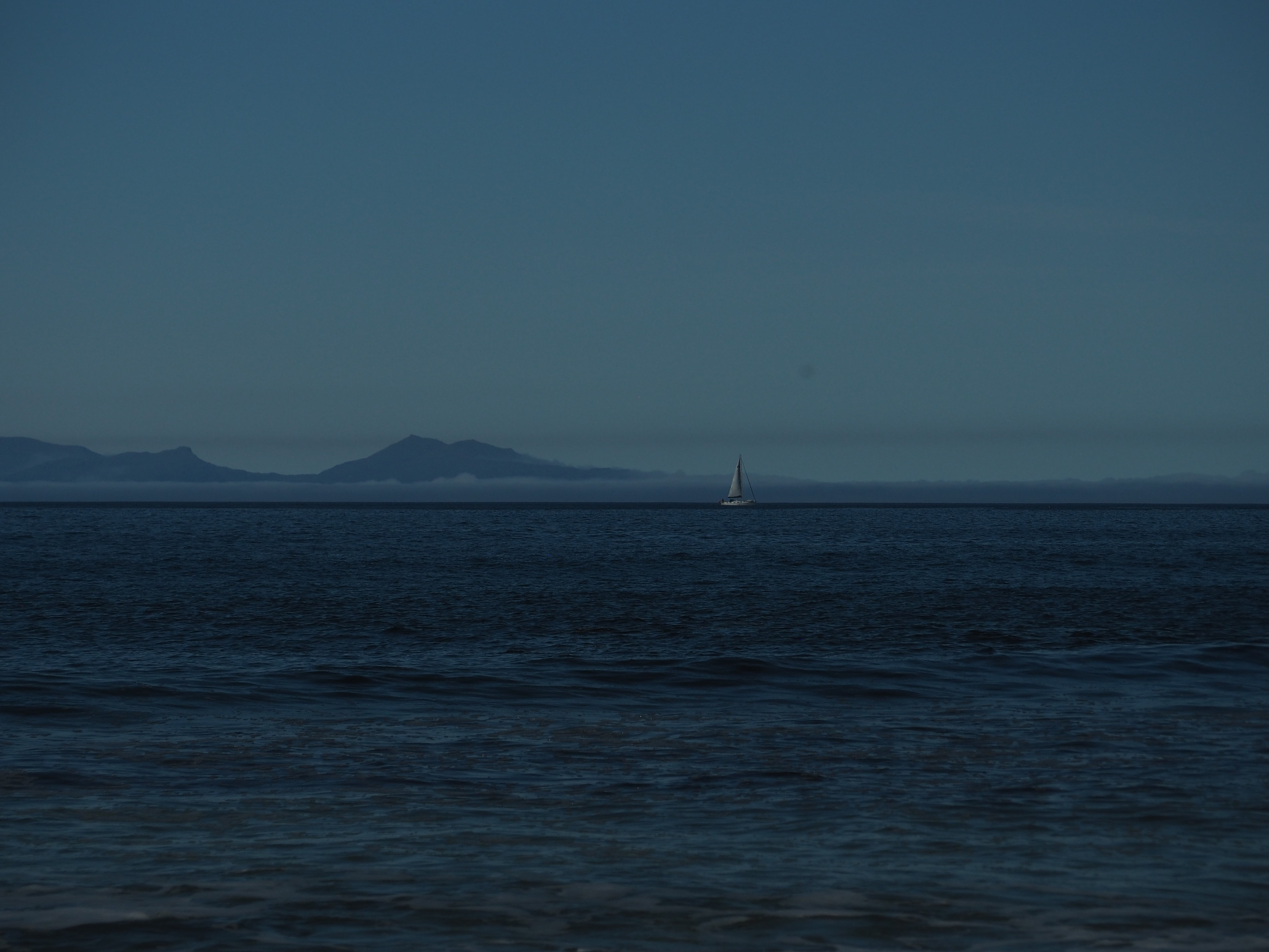
5. View of Prince Charlie’s Cave from Elgol. Way way out on a potholed single lane road on the Strathaird peninsula is the tiny village of Elgol. In the summer season, they run boats to see dolphins and puffins from here. On an early September Saturday, it felt as though the season was over. The boats didn’t appear to be running and the cafes and restaurants were all closed, save for the tiny little grocery/video rental/cafe/local craft shop at the top of the hill where the cows had collected in the lot.

We struck out along the cliffside across alternating rocky, muddy, marshy and boggy trail to the viewpoint of Price Charlie’s cave. It’s a good thing we had downloaded the path on AllTrails prior as we lost it several times among the overgrowth. We were virtually alone under partly sunny skies with a lot of wind. We’d heard about Elgol from the owner or the Misty Bottle (best wine/liquor store we’ve found in the UK) on the supply run on our way to our Airbnb. “Kind of like the fairy pools, without the people” he said.
While there weren’t the waterfalls of the fairy pools and because we arrived while the tide was receding but not yet low, we couldn’t get all the way to the beach, but did spot some of the turquoise pools below us from the overlook. He was also right about the people. Just us, a couple with their Irish setters, a couple fixing to repel down the cliff and the cows (and many of their patties). Elgol made us feel like we were downright suburban in Carbost. If you like way off the beaten path, relatively easy except for the navigating, hikes, surrounded by a beautiful coastline, this one’s for you.

6. Point of Sleat. The trail to the beach at the point of Sleat is an old rocky, dirt road which is used for cars by residents but is closed to other traffic (a good thing, a four-wheel drive car would definitely be required and the damage you’d do to your rental car would chew up your deductible to mush). It is very hilly with steep climbs and descents. The trail culminates up over a small ridge adjacent to a farm then empties on to a spectacular beach (make sure you go that way, we mistook a gate to be a cow/sheep gate and ended up on what we think was private property with some aggressive ducks who didn’t take kindly to us being on their turf). We didn’t go as far as the point, but it doesn’t look like we missed much, based on our viewpoints from the trail.
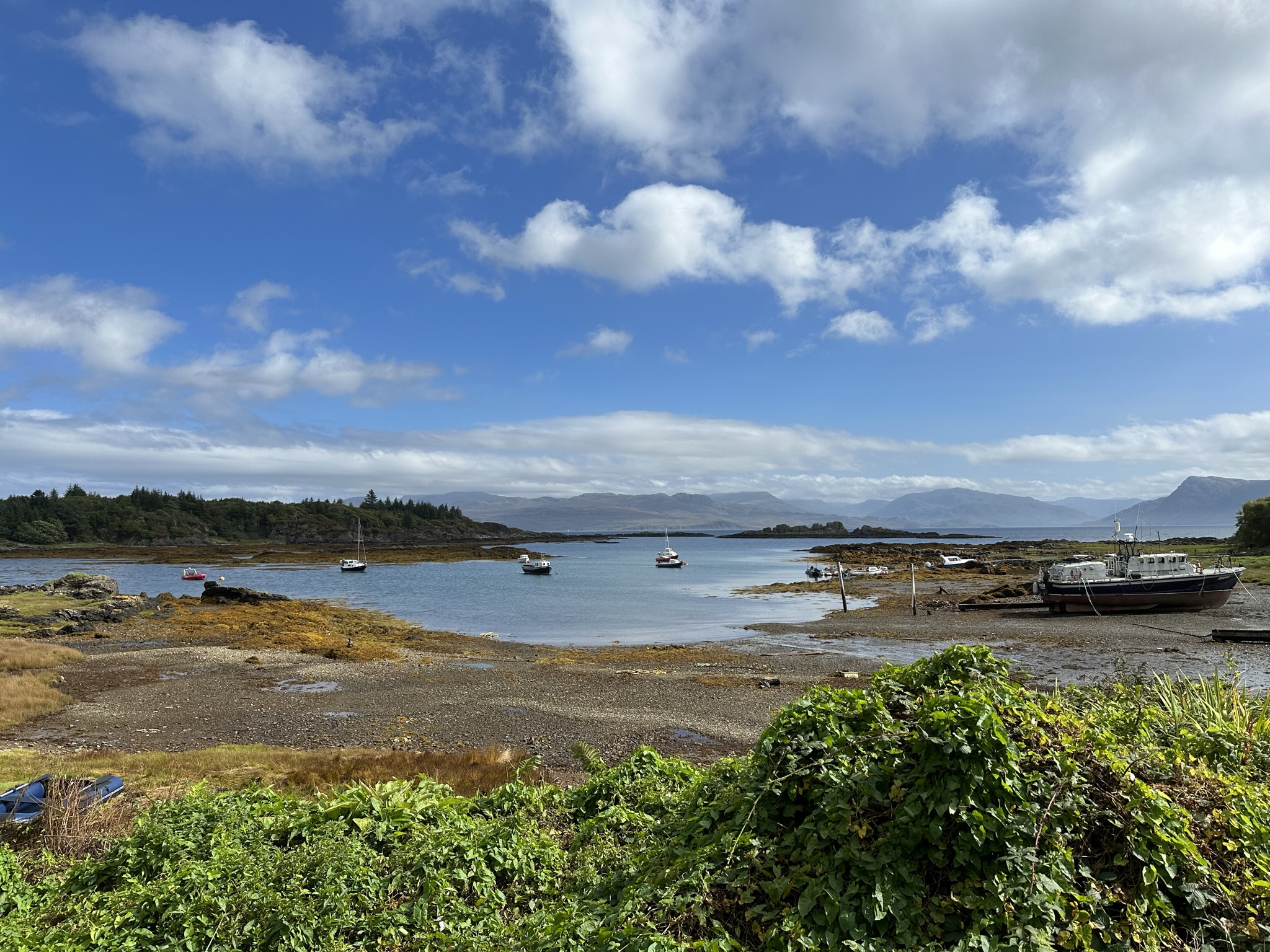


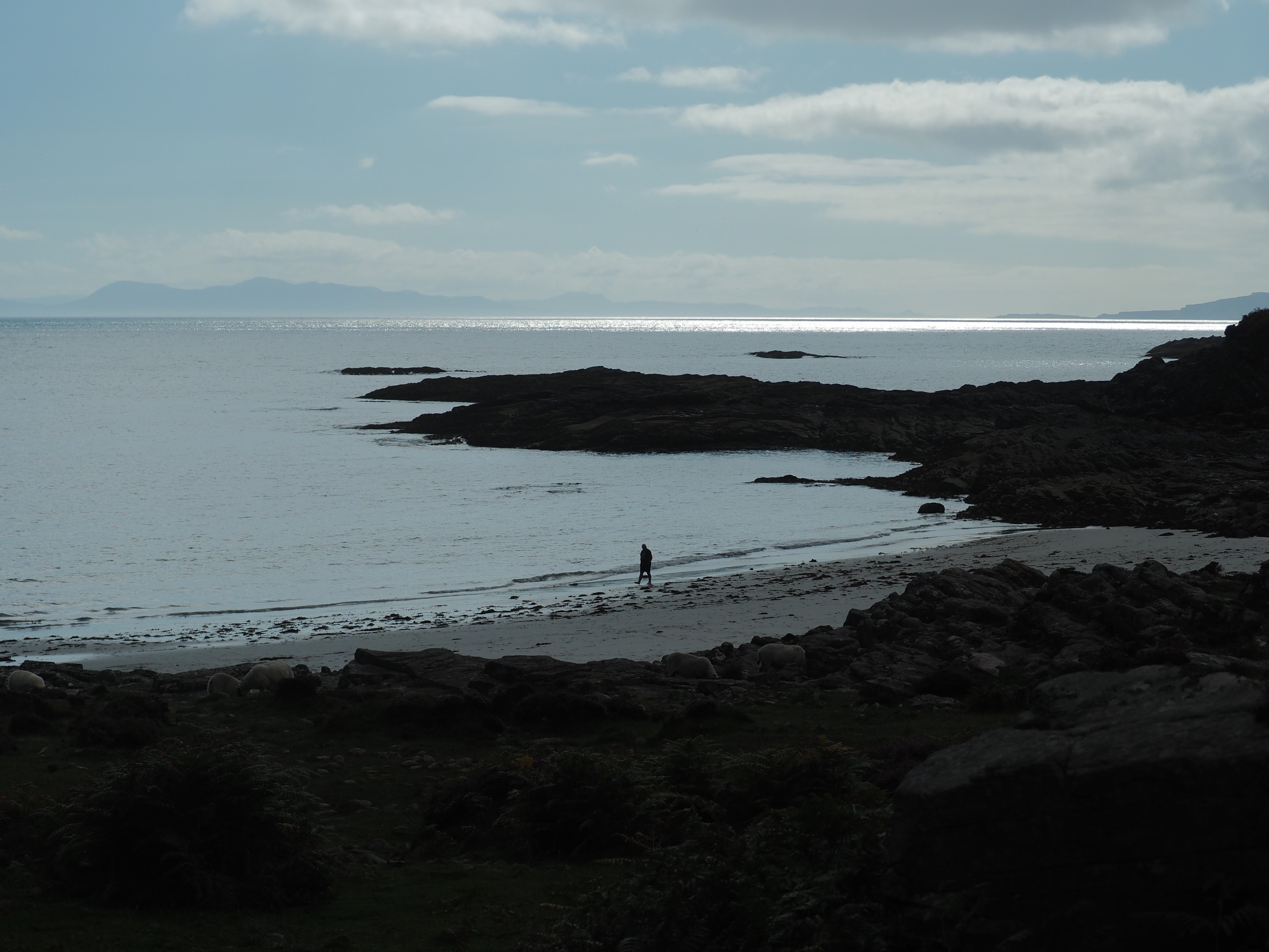
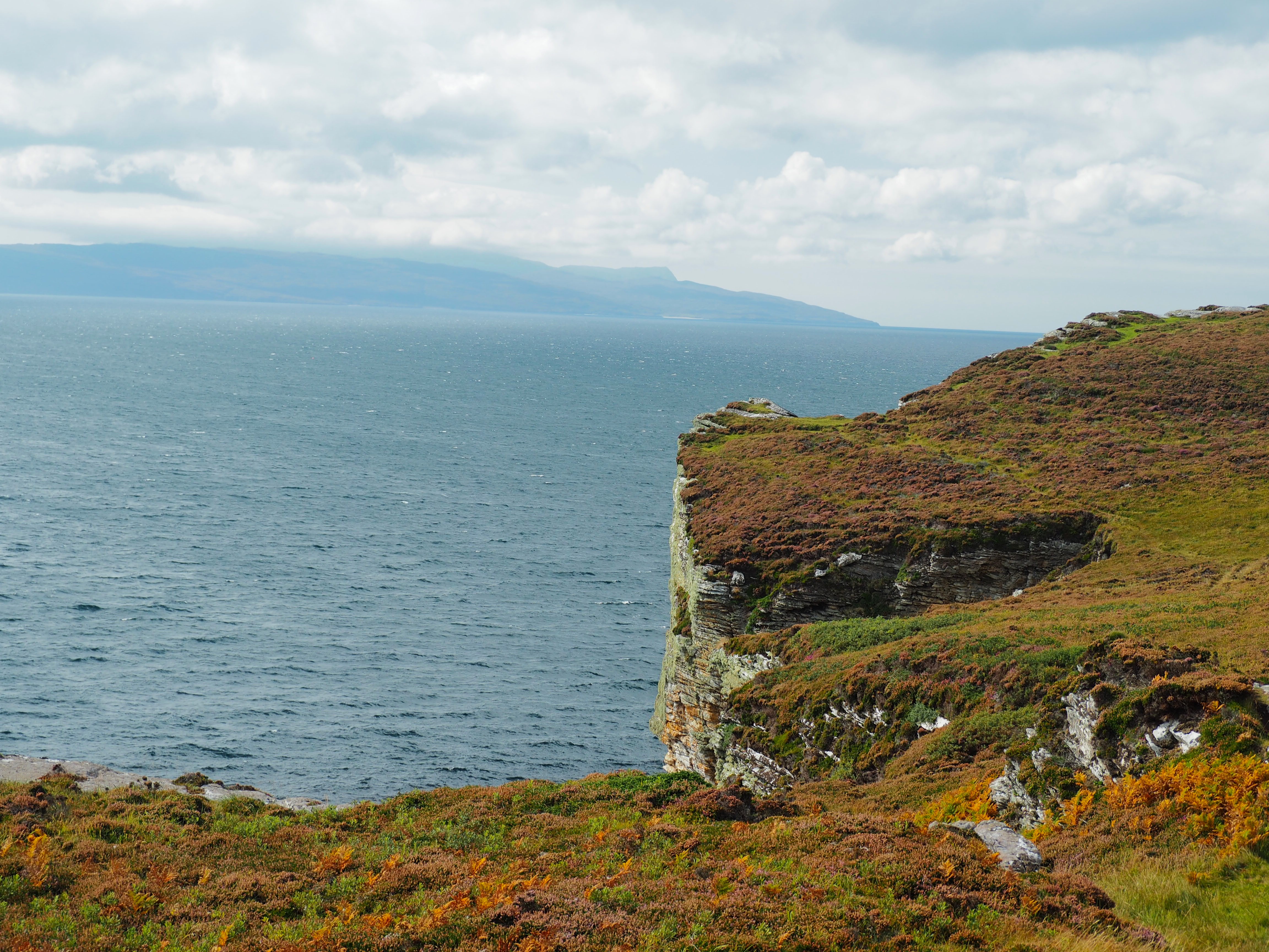
7. Talisker Beach. At two of the galleries we visited on the Sleat Peninsula, the artists both told us about Talisker Beach. That seemed like a ringing endorsement to us, so we set off the next morning under hot, sunny skies (yes, sunny AND hot) for Talisker. There is signage from Carbost which leads you to a single-track road winding through pastures and farms to a couple of small parking lots near the end of the road. When you see the parked cars, shy of where your nav system tells you to go, you’ve reached the spot.
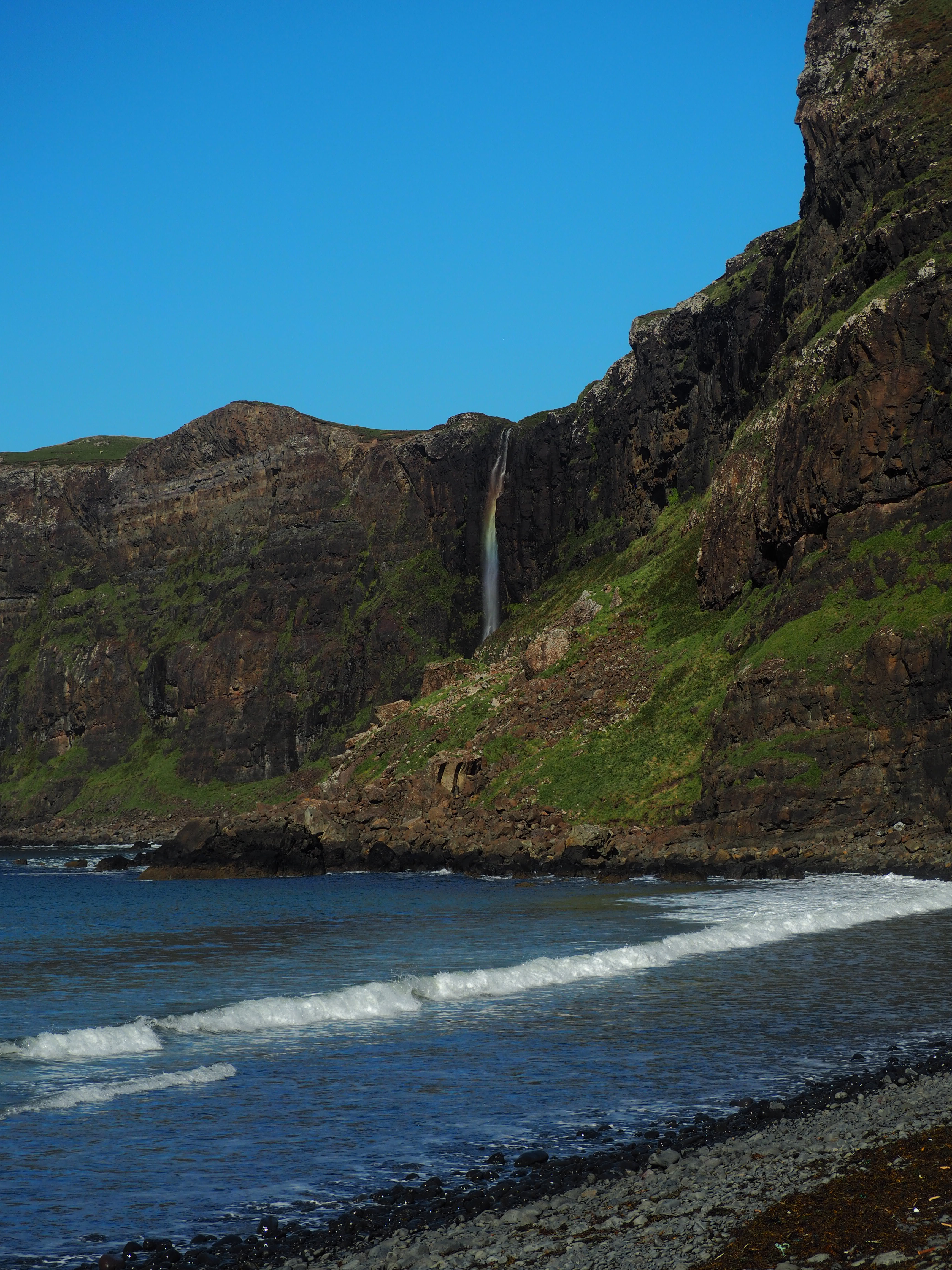
We walked through the farm up the road which felt like someone’s driveway at points (but this time, unlike Sleat, it was the actual track), past baying sheep and through cows grazing to arrive at a rocky beach as the tide was going out, revealing brilliant black-sand beach which, if fully out, would have made for some good beach strolling. A little waterfall tumbles over the cliffside to your right and the seastack of Talisker bay stands offshore to your left. Ahead, is South Uist island like a sentry blocking the broader Atlantic Ocean.
We were alone for our entire visit and felt like we were on to a real secret, but realized, as we returned to our car that the secret was out, as parades of people in bathing suits and flip flops (good luck with the sheep poop, fella) and picnic baskets marched down the path in the opposite direction to arrive at the beach for low tide. It was an unusually hot day in the Hebrides Islands, which may have accounted for the rush, but for those “in-the-know” this is a destination. We were just glad we’d beat the crowd and could enjoy it without them.


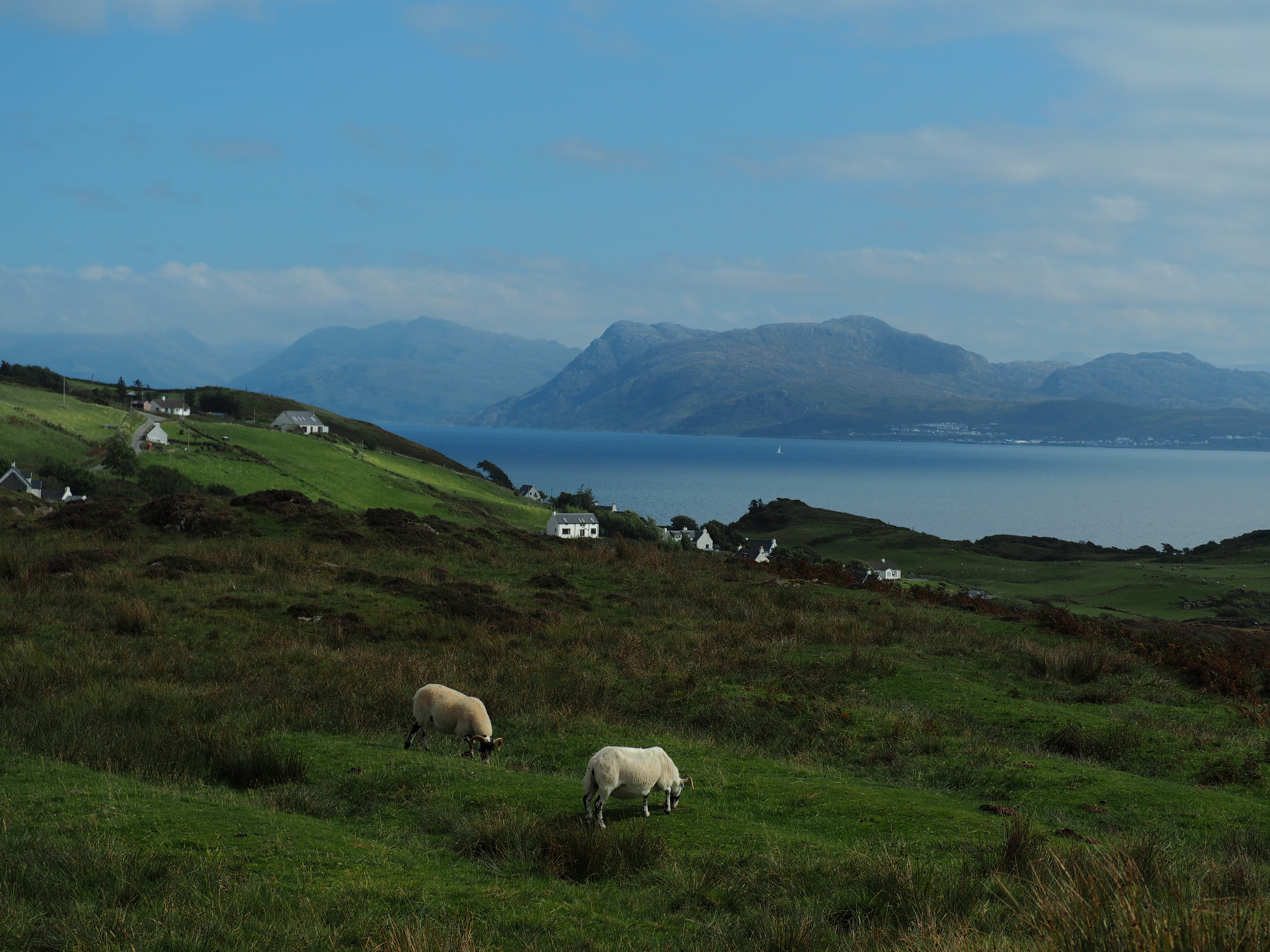
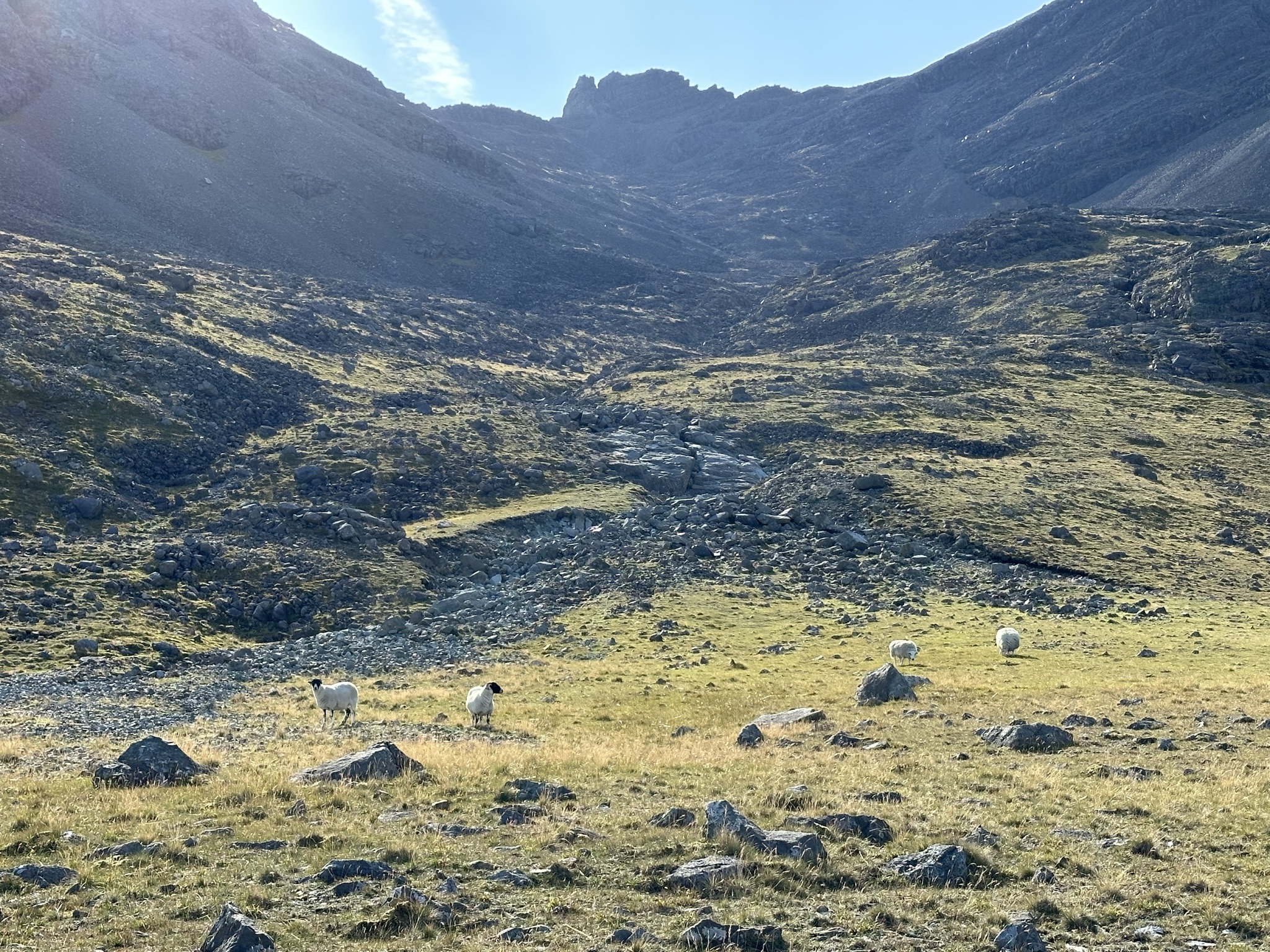
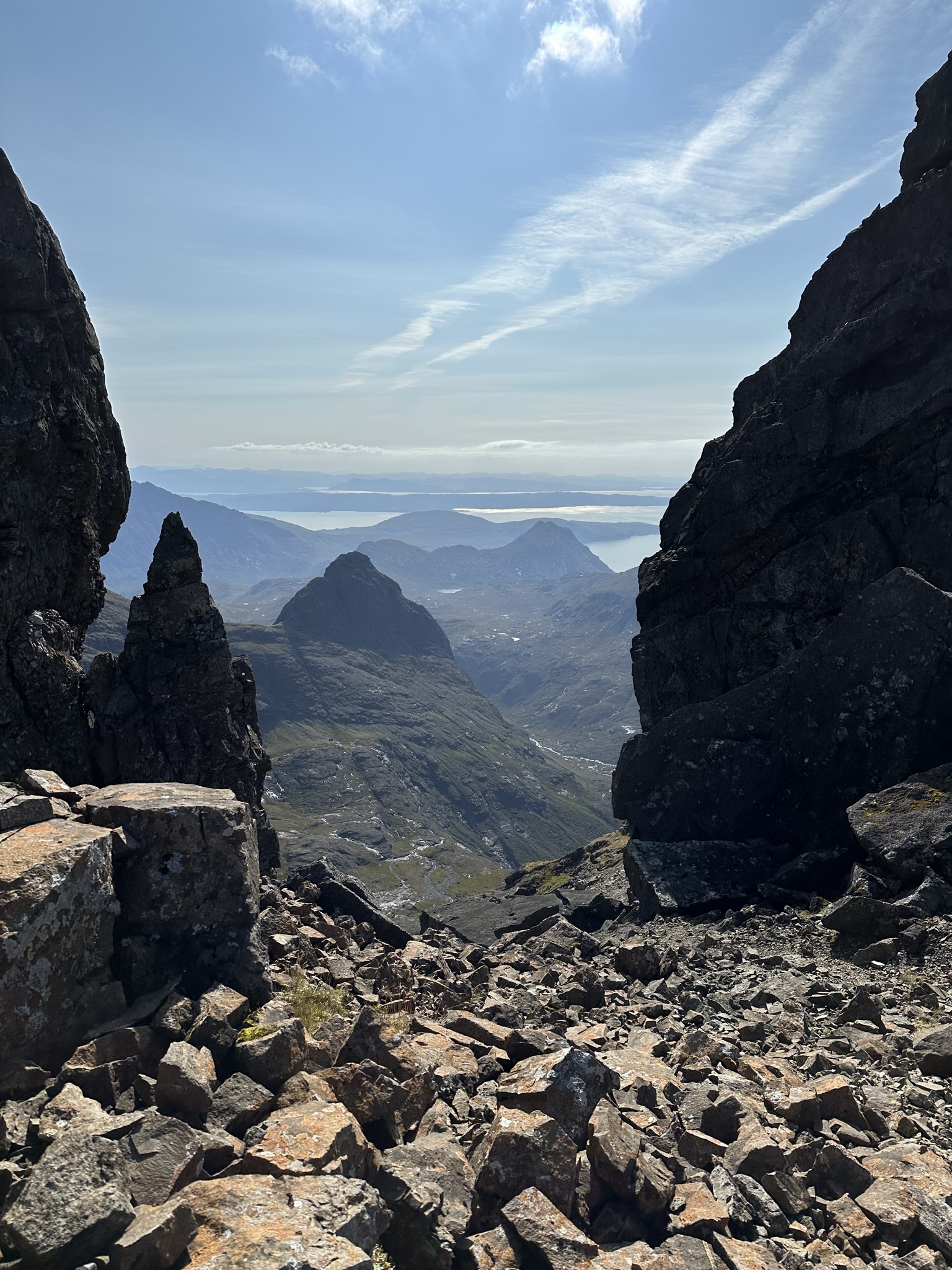
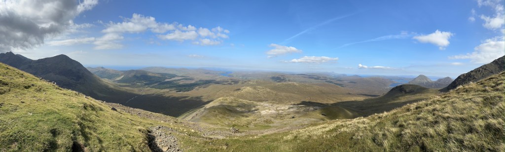
8. Bruach na Frithe. Finally, as we were nearing the end of our stay on Skye, I struck out relatively early one warm and windy late summer day to tackle Bruach na Frithe. The weather was unseasonably warm and felt more like the season that is ending than the one around the bend. The trail begins on a private road and then quickly branches off into meadows and moors full of streams and waterfalls.


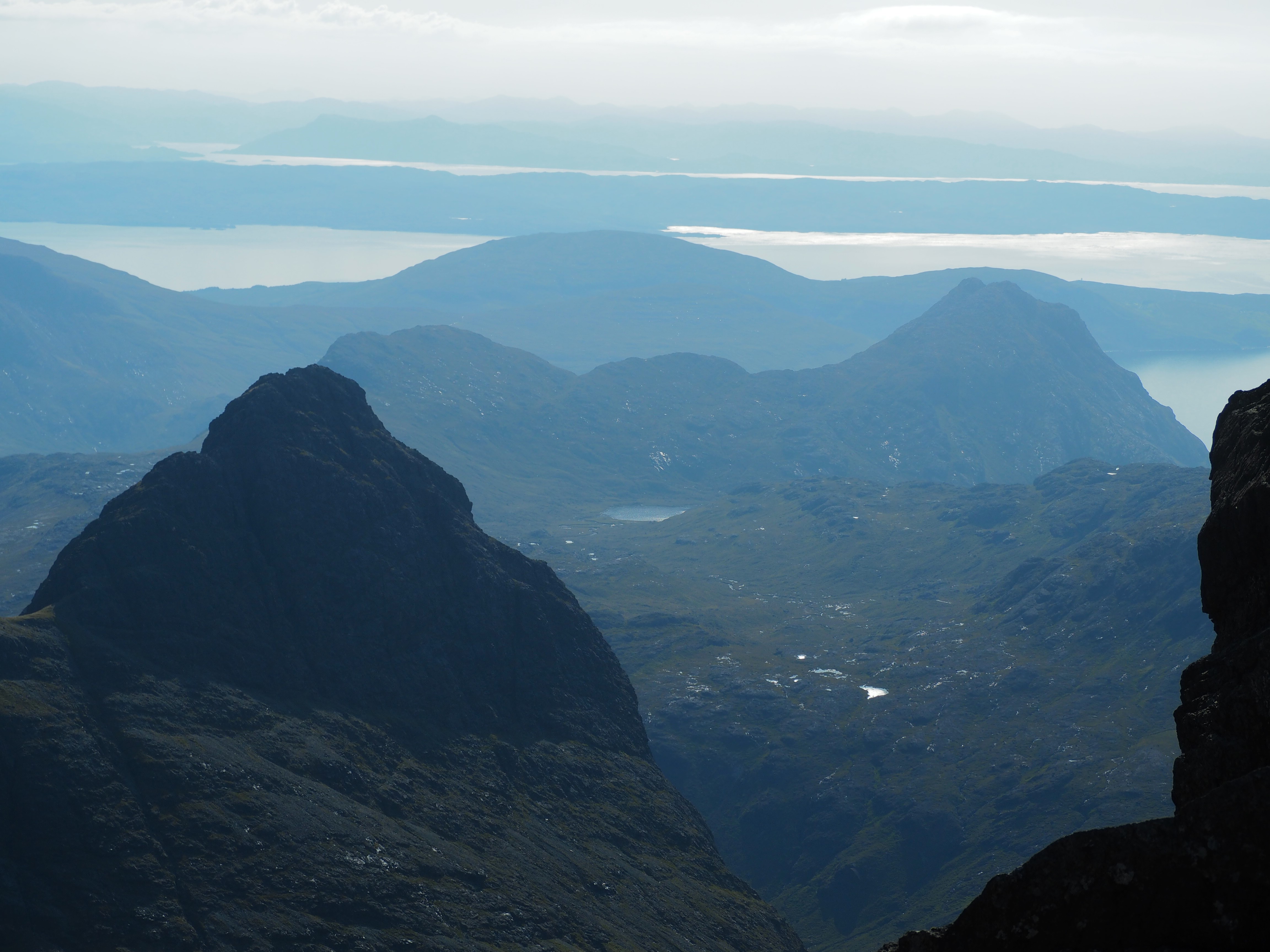
You wander along the streamside until crossing and leaving it as you climb across hills adorned with massive, glacier-deposited boulders. I was surprised at the lack of sheep, our constant hiking companions, until I stumbled upon a small flock in a meadow way up high. You’ve now entered the old cauldron of the volcano. The trail is marked with rock cairns once you veer off of the streamside path, but in your last mile you’ll definitely want the navigation of AllTrails turned on as it was easy to lose. To the north, you see Portree and the Old Man of Storr.
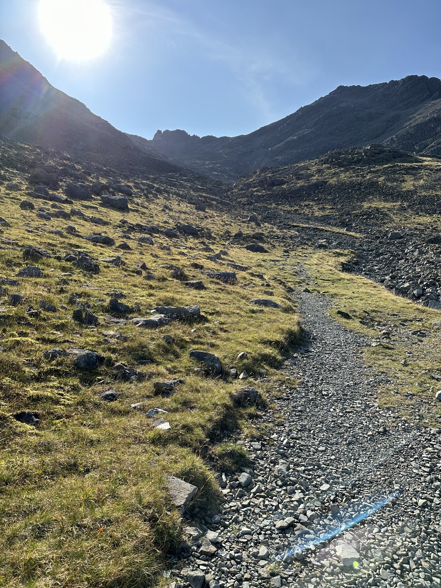
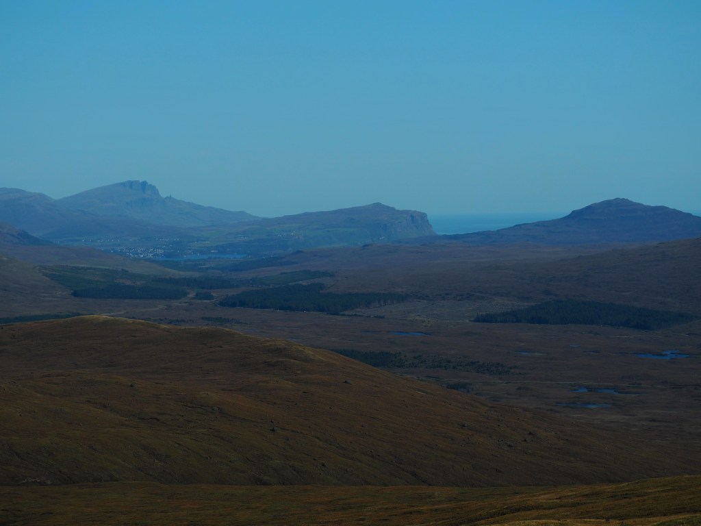
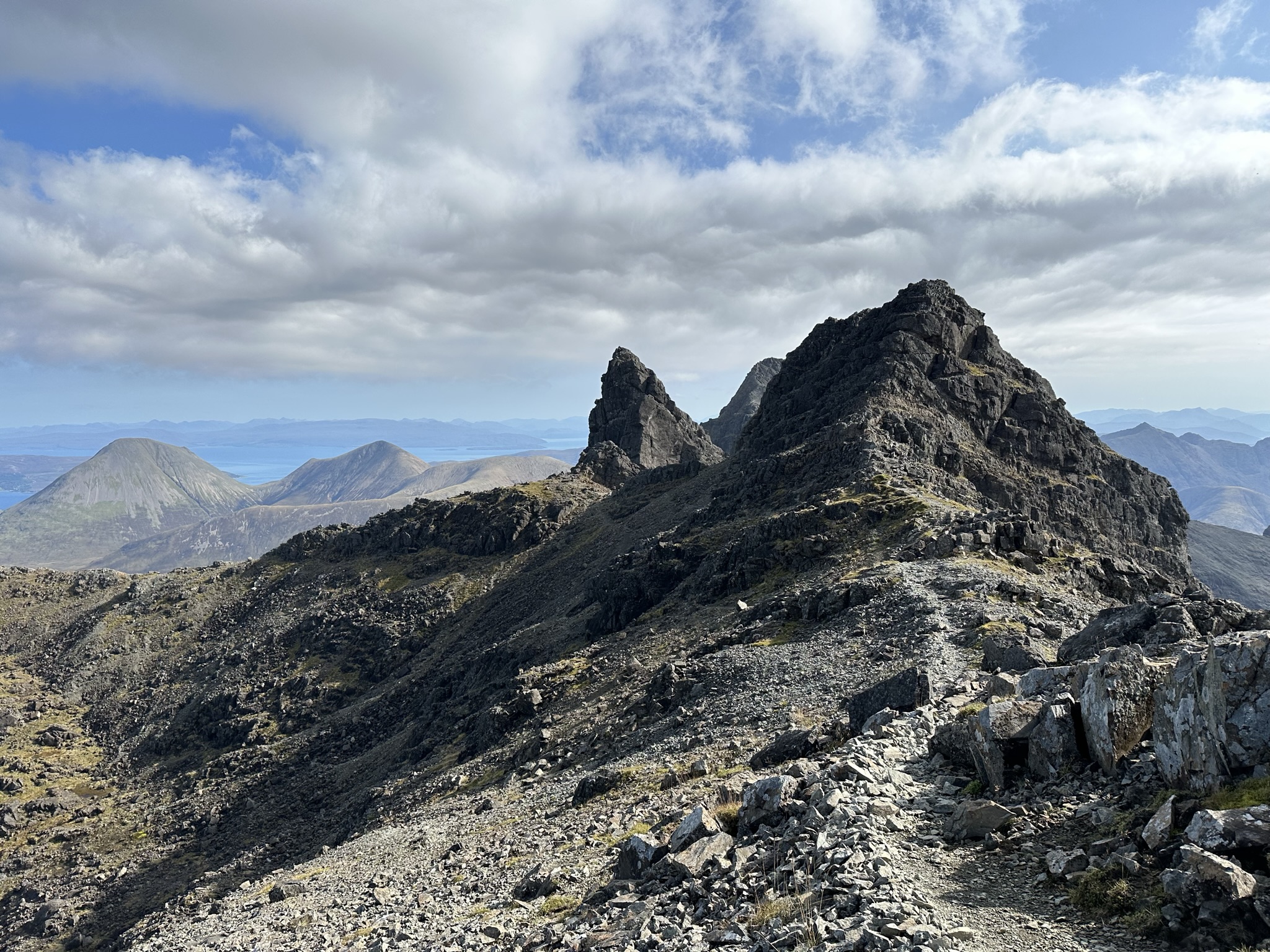
The climb to the summit is a scramble across black scree and takes you right into a small circle of rocks jutting straight up with fabulous views to the south of the Strathaird and Sleat peninsulas. You follow the, at times difficult to find path, along the ridge which is not for the faint of heart and look down upon the trail to the fairy pools to the west and Carbost to your northwest. Following the ridge line down can be a bit challenging with steeps to both sides in some areas and a trail that disappears, and you think, “surely, they can’t want me to climb up that” until you find it again along a saner course.

The descent is not really a proper trail. I followed where AllTrails told me to go and there are parts marked by rock cairns, but the majority feels like a downhill scramble past more sheep over meadows and moors and into a boggy area until you’re reunited with the streamside path.


It is not a hike for the timid or for those afraid of heights or rocky scrambles, but it was a great little summary of our time on Skye from 3,000 feet and definitely cured my itch for a challenging hike (for a bit).
There are lots of resources that appear if you google top hikes on Isle of Skye, this one looks pretty good. I mostly found mine through AllTrails to which regular readers will know I am a devotee. If you like getting out in the wilderness under the power of your own two feet, Skye is the place for you. And tip o’ the cap to Mr. MacKenzie and Mr. Collie for their pioneering and forging the trails for the rest of us.

0 comments on “Exploring the Isle of Skye on Two Feet”